No weather warnings were posted across British Columbia for the first time in weeks on Wednesday and flood watches were lifted, but Environment Canada says more heavy rain is on the way.
The River Forecast Centre downgraded a flood watch in the Fraser Valley to a high streamflow advisory before noon Wednesday and ended all other watches and advisories covering waterways on Vancouver Island and the inner south coast.
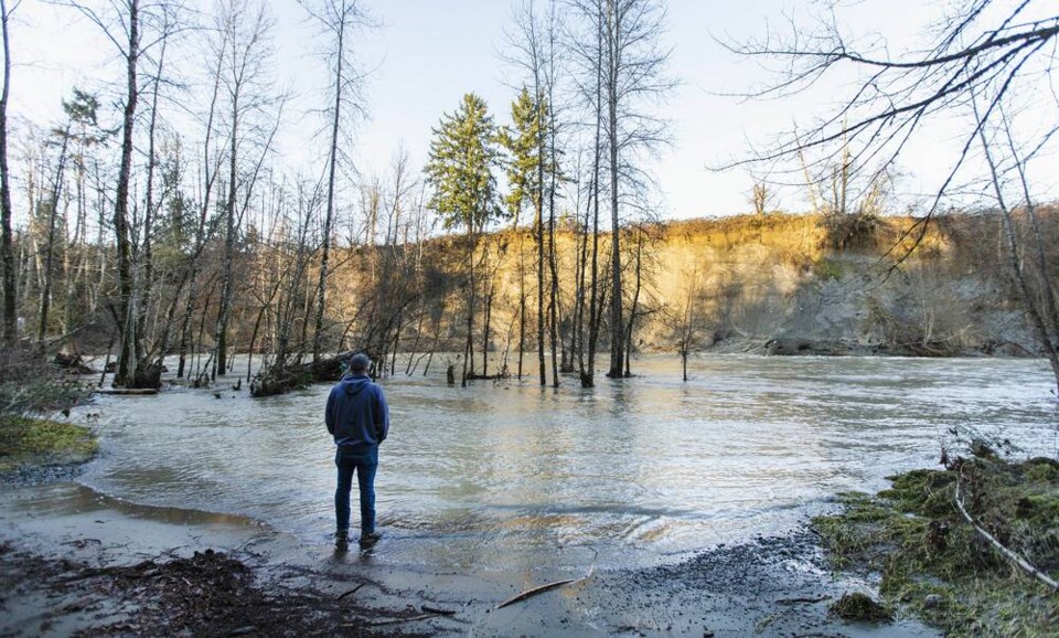
A statement from the centre said river levels in most areas had peaked and were receding, although it said the Sumas River through the Fraser Valley remained elevated due to slower drainage and could see small additional rises before conditions ease today.
In North Cowichan, an evacuation alert for properties near the Chemainus River was lifted just before noon, two days after it came into effect.
Chemainus Road adjacent to the Chemainus River Bridge was flooded on the afternoon of Dec. 26 following heavy rain coupled with snow melt and king tides. River levels have now receded.
“The road is open and the levels in the river are significantly down from the peak and things are relatively back to normal,” Shawn Cator, North Cowichan director of operations, said Wednesday. The evacuation alert was sent to 30 homes in the area to advise residents that river levels were rising and they should be ready to leave quickly, he said. Although there was minor flooding, it didn’t get to the point where evacuation orders were issued.
“This river will typically cause flooding,” he said. “It has happened before, so most people are ready and have taken precautions.”
Communities around the Strait of Georgia are also keeping a close eye on sea levels as more exceptionally high tides are due today and Friday.
Vancouver recorded a high tide of 4.9 metres by mid-morning Wednesday, slightly lower than Tuesday’s five-metre tide, and although some seaside walkways were briefly flooded, the city reported no damage for a second day.
In eastern B.C., recent snowstorms followed by warming temperatures prompted Avalanche Canada to issue a special warning about a potential for avalanches over the next five days within a huge swath of backcountry from north of Prince George, south almost to Castlegar and Kimberley.
“The storm cycles that hit Western Canada over the past weekend added significant snow on top of an exceptionally weak lower snowpack,” said a statement from Avalanche Canada.
“This has brought the conditions to a tipping point where dangerous avalanches are likely,” the statement said.
Even if conditions improve, the agency noted the risk of an avalanche would remain, and it urged backcountry users to stay off steep slopes until at least Jan. 2.
Elsewhere, avalanche conditions were ranked as “high” in parts of southeastern B.C., where Avalanche Canada said recent heavy snow on a weak snowpack had raised the risk to “very dangerous.”
Human-triggered avalanches were “very likely,” it said, while conditions on coastal mountains, Vancouver Island, sections of the Okanagan, Shuswap and northwestern B.C. were rated as “considerable,” with backcountry users urged to carefully evaluate their routes.


