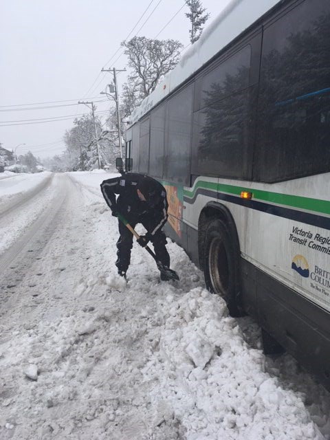
The capital region has seen the snowiest February since record keeping started at Victoria airport in 1941. This has led to two days of school closures so far, power outages, municipal service interruptions and transportation disruptions.
February has already seen 56 centimetres of snowfall, beating the previous mark of 39.4 cm in 2014, said Environment Canada meteorologist Matt MacDonald.
Records date to 1941 and were measured at Victoria airport.
Normal snowfall in February is 6.3 cm. “We’ve gotten almost 10 times that already,” MacDonald said.
Monday’s storm brought 26.4 cm of snow to the airport — the most snow that’s fallen there in a single day in February since 1941.
The official weather station for Greater Victoria is at the airport, and its statistics might not necessarily reflect what happens elsewhere in the region. For example, there tends to be less snowfall near the water and more inland.
To offer perspective on major snowfalls, the Blizzard of 1996 included a 65-centimetre dump at the airport on Dec. 29.
The region also experienced a major February snowfall in 1916 that included 53.3 cm on Feb. 2, recorded at Gonzales, which was the official weather station until the airport took over. The total snowfall for February that year was 117.9 cm.
Besides the high snowfall, temperatures recorded at the airport show it has been colder than normal.
Since the start of February, it has been five to seven degrees below normal, MacDonald said.
The average high for February is 8 C and the low 2 C.
“As long as this colder-than-normal pattern continues, the potential for snow is not over,” MacDonald said.
The sun is expected to shine and temperatures are forecast to rise today to 3 C, but it might just be a window of opportunity to clear the decks before the next snowfall.
Initially, it was looking as if Thursday’s system would start off as snow and switch over to rain with a high of 2 C, but Environment Canada forecasters are concerned the snowfall could last longer.
“On Thursday, we could easily get another five centimetres or more, all depending on when that switchover happens,” MacDonald said. “It won’t be the light fluffy snow like we’ve had. It will be more of that wet snow that we’re used to.”
The snowfall throughout the month is the result of an Arctic ridge of high pressure over northern B.C. that pushed out to the coast. There’s Arctic outbreaks every winter, but they have been persistent this February, he said. And when moisture clashes with cold air, the result is snow.
Rick Gill, general manager for Mainroad South Contracting, is also concerned about the possibility of more snow on Thursday.
It only takes a degree or two in temperature change for Thursday’s forecast precipitation to turn to snow rather than rain, he said.
“It makes a huge difference. If temperatures stay low, it will be heavy snow,” Gill said.
“If the weather doesn’t do what [weather forecasters] say it’s going to do, we’re going to be busy for days.”


