A team of researchers from the University of Victoria embarks on a voyage today to further explore an expanding zone of low-oxygen water off Vancouver Island that threatens coastal fisheries and aquaculture.
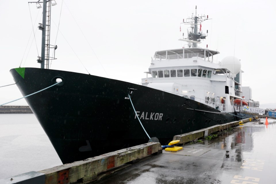
The Schmidt Ocean Institute, which was created by Google’s chairman Eric Schmidt and his wife, Wendy, has offered the UVic team the use of its $62-million research vessel, Falkor, to further their research.
UVic’s Ocean Networks Canada already has a network of undersea sensors and instruments that relay data back to land over more than 850 kilometres of fibre-optic cable.
The hope is to combine that information with data gathered from the Falkor, which is equipped with acoustic sensors and an advanced sonar mapping system.
Researchers will then be able to track how low-oxygen water moves from the open ocean into the Strait of Georgia, Juan de Fuca Strait and other parts of the Salish Sea.
The team recently completed a two-week stint at sea where it mapped areas of low-oxygen water using instruments lowered from the ship or dragged behind it. Over the next two weeks, they will use the deep-diving ROPOS, a remotely operated vehicle from the Canadian Scientific Submersible Facility.
Using ROPOS, researchers intend to compare the biodiversity in low-oxygen water with life in water containing higher levels of oxygen.
The zones of low-oxygen water have existed around the world for thousands of years. “But we’ve noticed, in the last few decades, that they’ve been expanding globally,” said Kim Juniper, science director at Ocean Networks Canada. “Several new ones are forming every year.”
In some cases, the zones form due to run-off from agricultural fertilizers, he said. But scientists also suspect that global warming could be a factor in their growth.
One of the largest zones off B.C.’s coast has been moving up closer to the ocean surface and creeping closer to Vancouver Island, he said.
“In summer, when winds are blowing from the north just the right way, it actually draws some of the water up onto the continental shelf, and can flow through the Strait of Juan de Fuca and even work its way into the Strait of Georgia and some of the adjoining fjords,” Juniper said.
The low-oxygen water can have a devastating impact on fisheries and aquaculture, he said.
The hope is that if researchers can broaden their understanding of how and where the water flows into the Salish Sea, they will be able to forecast the timing and severity of the intrusions. Fish farms might then be able to add oxygen to the water or take other steps to protect their stock.
Richard Dewey, associate director of science at Ocean Networks Canada, said researchers have started compiling information from the first two weeks at sea. They are already excited by some of the findings and expect to produce up to four scientific papers in the next year, he said.
The information collected during the expedition over the next two weeks will be put online as soon as possible, in keeping with both institutes’ open data policies.
“Rather than have just a few shipboard scientists take their time working up the data, everything will be available immediately online to the entire global research community,” Juniper said. “So we hope, with that kind of online availability, that we’ll have some results within six months to a year.”