Drought is affecting much of B.C., including many parts of Vancouver Island, and the southern and central Interior.
The B.C. government says very low spring rainfall, exacerbated by the recent extreme heat and record temperature conditions in June and early July, is causing water scarcity and low flows.
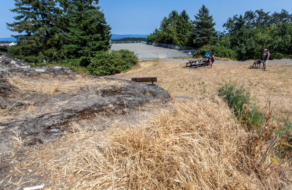
The East Vancouver Island Basin is at Drought Level 4, which will likely have an adverse impact on people and ecosystems, the government said in a news release Friday.
Water conservation is being urged across the region to help reduce the risk of significant impacts on the environment or other water-users.
B.C. ranks drought levels from zero to five, with Drought Level 5 rated as the most severe with adverse effects to socio-economic or ecosystem values.
Areas of water scarcity and drought include Sandhill Creek, the Koksilah River, Chemainus River, Millstone River, Tsolum River, Black Creek, Fulford Creek on Salt Spring Island, as well as the majority of the Gulf Islands.
In the Interior, the Salmon River watershed, which drains into Shuswap Lake, is also at Drought Level 4.
“In this area, significant, adverse impacts on fish are very likely, and maximum water conservation for all water-users and licensees is being urged,” the government said.
Areas under Drought Level 3 include: the Nicola and Coldwater watersheds near Merritt, the Kettle River watershed near Grand Forks and the entire Okanagan Valley. Much of the central and southern Interior are under Drought Levels 2 or 1. Conserving water resources is also important in these areas, to reduce adverse effects to water-users or the environment.


