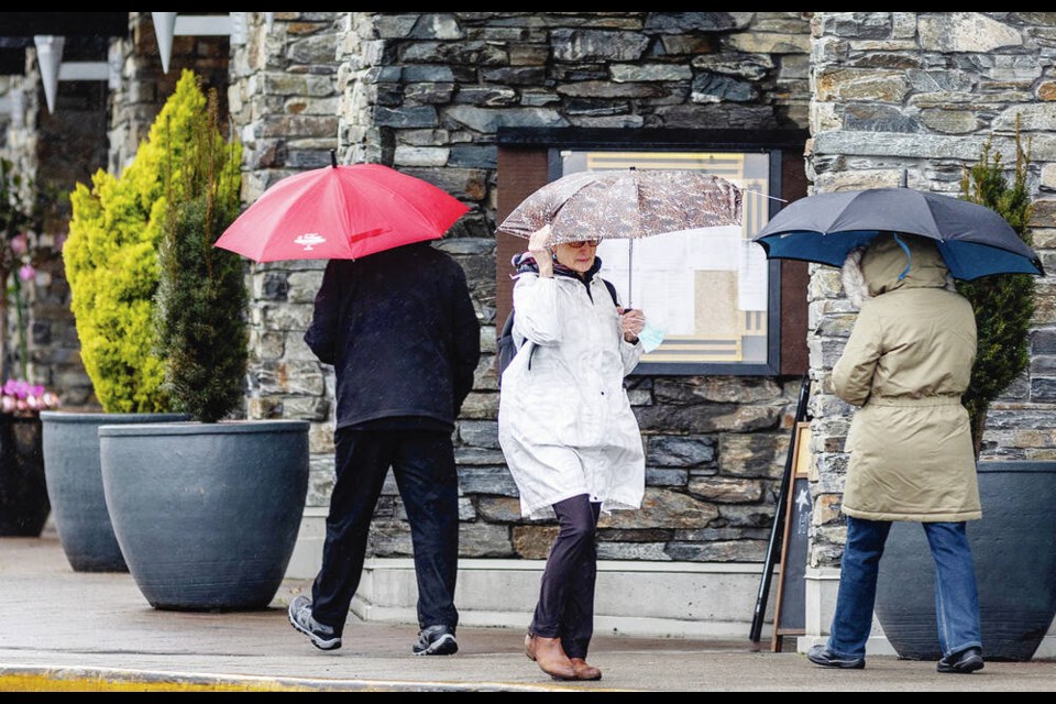
People are being warned to stay away from river banks and watch for potential flooding and road washouts as an atmospheric river began over much of Vancouver Island on Monday and is expected to continue on Tuesday.
Municipal governments are opening sand-bagging operations for residents to protect their homes from the heavy rainfall, which is coinciding with astronomical tides that will produce elevated water levels around high-tide periods.
Environment Canada also issued wind warnings for the North Island and warned of potential power outages from fallen trees. Wind speeds are expected to hit 90 kilometres per hour, with gusts up to 120 km/h over coastal areas.
“It’s very wet in Tofino right now, but so far crews have been keeping all the culverts clear,” said Mayor Dan Law, whose community was expected to be hit with 150 millimetres of rainfall — just a few months after drought prompted severe water restrictions and threatened to shut down Tofino’s tourist-based economy.
Law said the district expects a long-term water plan in the new year to outline ways to collect and store more water for drier months. “I think everything we do now is based on climate change — and water,” said Law.
In Ucluelet, heavy rainfall brought a tree down on power lines Monday morning, knocking out power to more than 500. Crews were also responding to downed wires in Central Saanich, Duncan, Chemainus, Qualicum Beach and Campbell River.
Other areas of the Island are expected to get up to 50 millimetres of rainfall through Tuesday. A weather warning for the Saanich Peninsula and Victoria was downgraded Monday, with those areas now set to receive 20 to 40 mm of rain through to Tuesday.
The province’s River Forecast Centre issued a high-stream advisory for all of Vancouver Island and the South Coast on Sunday, saying river levels are rising or expected to rise rapidly. Though no major flooding is expected, minor flooding in low-lying areas is possible.
In Courtenay, B.C. Hydro issued a public safety advisory to stay away from the Puntledge River from Monday through Friday as water releases from the Comox Dam will double the typical flow rate.
Hydro spokesman Stephen Watson said the Puntledge River powerhouse was out of service with an equipment problem, so all downstream water flows from the Comox Dam are flowing through the Barber’s Hole and Nymph Falls section of the Puntledge.
He said water release from the Comox Dam is typically about 35 cubic metres per second, but the flow may be up to 60 cubic metres per second by Monday night, depending on the water inflows from the storm. He noted the Browns and Tsolum rivers will also be adding water into the river system downstream.
The daily water inflow average for Tuesday is forecasted to be around 125 cubic metres per second, depending on the amount of rainfall and snow melt.
Watson said B.C. Hydro will be monitoring the river flows and the high tides, and may reduce the flow from Comox Dam if needed on Tuesday.
He said precipitation for November was 69% of normal, so “there’s good reservoir storage room available to absorb water inflows from storms this month.”
Watson said high tides are average for this time of year, at about 4.8 metres, so it was good timing for the peak water flows on Tuesday. The tides were 5.2 metres last week. The next set of king tides, with a peak of 5.4 metres, is Dec. 14 to 20, he said.
Victoria was heading toward its driest calendar year on record, but recent rains mean the city likely won’t set that mark — though it will be close.
Steven Murray, a weather analyst who keeps records from the federal Gonzales Observatory weather station, said the driest year on record was 1978 at 383.3 mm. As of early Monday, the station was at 360 mm. “So with the rain that is forecast, plus we still have more than three weeks in December, it seems likely that we won’t be the driest year on record,” he said.
Murray said it could turn out to be a year like 1979, which saw only 269 mm of rain from January to November, then 258 mm in December.
While last month seemed warm and dry, the statistics show otherwise, he said. The mean temperature was 7.8 C, close to the normal mean of 7.7 C. Gonzales received 88 mm of rain in November, which is lower than the average of about 120 mm, but not unusually so. Last month was only the 51st driest November in the Gonzales record book.
Meanwhile, in Sooke, the district’s emergency program manager is asking residents to clear drainage grates on the streets to help prevent local flooding. The district has nearly 700 throughout the town. The City of Victoria issued a similar warning on Monday.
“Sweeping the leaves with your foot to allow water to enter the storm water management system is a small preventative action we can take as a community,” Sooke’s Jason Humphries said in a statement.
A sandbag station is open 24 hours a day, seven days a week at the Ed Macgregor Park parking lot at 6752 West Coast Rd. It’s self-serve, with sand and bags provided. Residents are asked to bring their own shovels.
In Sidney, the town was advising residents to keep their distance from the ocean. A sandbag station was set up at Iroquois Park for those needing them for flood protection.


