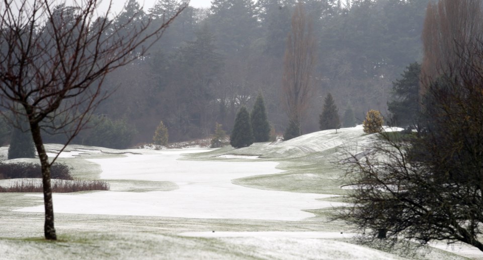
Friday’s fast-melting snowfall in the capital region should be the last gasp of snow some time, which likely means a green Christmas.
“St. Nick will have to put those water skis on to get to you,” quipped Environment Canada meteorologist Doug Lundquist. “We’re forecasting 6 C and a mix of sun and cloud for Christmas Day, and 8 C and a mix of sun and cloud on Christmas Eve day.”
He said there is a definite warming trend in the region.
“There’s another system coming for Sunday into Monday. It’s just going to pump more warm air in.”
It was a slippery Friday morning commute in parts of Greater Victoria, and some West Shore bus routes had to be cancelled. West Shore road conditions varied from wet to snow-packed to slushy, said West Shore RCMP Cpl. Kathy Rochlitz.
With the exception of some minor accidents in Central Saanich, no major problems on the road were reported. There was a handful of private-school closures, but all three school districts in the region remained open.
Saanich police Sgt. Steve Eassie said despite the snow and rain, road conditions in Saanich were fair on Friday morning.
“People driving with care, leaving lots of room between vehicles and driving an appropriate speed for the conditions should have very few problems,” Eassie said in an email.
Helijet sent out a late-morning notice that Victoria-to-Vancouver flights were being cancelled for the the day Friday due to icing problems and poor visibility. Flights are set to resume today.