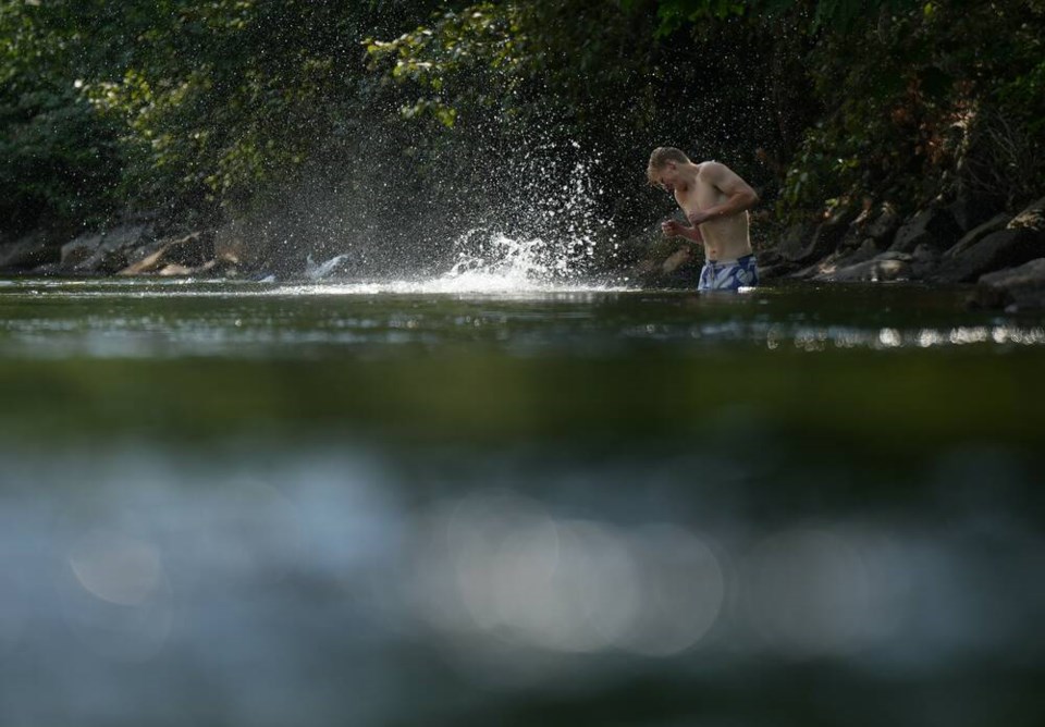
Temperature records have been tumbling across B.C. since the arrival of a heat wave that began on the south coast on Sunday, with temperatures in some areas pushing beyond 40 C.
A repeat of the 2021 heat dome is not expected, but health authorities and local and provincial governments are still urging caution before temperatures are expected to ease Friday.
The sweltering heat has now prompted warnings or special weather statements across southern and central B.C. and into southern Alberta.
On Vancouver Island, heat warnings have been issued for East Vancouver Island, Greater Victoria and the Southern Gulf Islands. A special weather statement is in place for Inland Vancouver Island.
Environment Canada said temperatures in several areas, from the Boundary and Okanagan to parts of the North Thompson and Kootenay, were expected to see highs of 39 C on Monday.
By 4 p.m. Monday at least 12 daily heat records had fallen across B.C., surpassing the eight that fell Sunday.
The 40 C benchmark was also broken for the first time in Canada this year, with the mercury hitting 40.5 C near Lytton in the southern Interior and 40.1 C at Lillooet in the Sea to Sky region on Monday afternoon.
While most parts of B.C. weren’t forecast to get that hot, the weather office said that with humidity, many areas could feel like they were nudging 38 or 39 C.
Among the locations that hit record highs on Monday are Port Alberni on Vancouver Island, Vernon in the Okanagan, Lillooet and Whistler, Environment Canada said.
Records were set Sunday in places including the Malahat and North Cowichan on Vancouver Island, Agassiz in the Fraser Valley and Pemberton, north of Whistler.
Environment Canada expects heat warnings and special weather statements will be posted across the southern half of B.C. for most of this week.
Temperatures are a key factor in determining health risks, said Fraser Health and Vancouver Coastal Health, noting that it can take hours for people’s bodies to cool and for physiological strain to decrease after high temperatures occur.
Island Health recommends finding somewhere to cool off on hot days, such as libraries, community centres, movie theatres or malls.
Other tips include:
• Shut windows and close curtains and blinds during the heat of the day to block the sun and prevent hotter outdoor air from coming inside. Open doors and windows when it is cooler outside to move that cooler air indoors.
• Ensure that you have a working fan, but do not rely on fans as your primary means of cooling. Fans can be used to draw cooler late-evening, overnight and early-morning air indoors.
• If your home gets very hot, consider staying with a friend or relative who has air conditioning if possible.
EmergencyInfoBC says 147 cooling centres are available around the province. Many municipalities, including the City of Victoria, have maps or lists of public spaces where people can cool off and misting stations, available on their websites.
The Ministry of Emergency Management has said a repeat of the 2021 heat dome, which claimed more than 600 lives, is not in the forecast but it warned people to take precautions to stay out of the heat, drink water and limit activity.


