Despite recent snowfall at higher elevations, Vancouver Island’s snowpack is still well below normal.
Dave Campbell, head of the River Forecast Centre, said Friday the Island’s snowpack is at 46 per cent of normal, up from 30 per cent in February.
He said the “incredibly warm” atmospheric river that hit the Island in January caused a large amount of snowpack loss on the Island, which tends to have a more variable snowpack than the rest of the province due to how close the temperature is to freezing level in the mountains.
Across B.C., recent snowfall has boosted the average snowpack to 66 per cent of normal.
Before that, it measured 61 per cent, close to the historic low recorded almost five decades ago, Campbell said.
“With a bit of snowfall, particularly over the last week and a half or so, we did see numbers come up a little bit from where they had been at Feb. 1,” he said at a briefing to update current conditions.
This year’s snowpack level is tied with 2001 for the second-lowest provincial March 1 snowpack ever seen, he said. The historic low was in 1977, when it was 53 per cent of normal.
The River Forecast Centre analyzes snowpack conditions, assesses seasonal water supply and flood risk and predicts flows in B.C.’s rivers and streams.
Campbell said many areas of B.C. are currently showing snowpack levels below 60 per cent, despite the overall provincial average of 66 per cent.
In addition to Vancouver Island, areas east of Prince George, the Central Coast, South Coast and Skagit Valley are recording low snowpacks, he said.
“But still we have seen lower years, particularly the 2015 year when we had very low snowpack in those regions,” Campbell said.
The lower snowpack level could mean a reduced flood risk this spring in many areas of the province, but warm weather and spotty rainfall would also signal increased drought conditions this summer, he said.
Drought conditions reached the highest level last year in areas of B.C.’s northeast, central Interior, Thompson-Okanagan, Sunshine Coast and Vancouver Island, he said.
“The water we’ve got stored up on the landscape in the snow is below normal, and therefore, the flow that we anticipate seeing off the water availability is going to be lower as we come into the summer,” Campbell said. “That certainly is an ongoing concern in terms of the implications for drought. We continue to see that increased hazard for seasonal drought this year.”
He said the amount of rain and snow over the next six to eight weeks prior to the spring melt will give officials a better grasp of the potential stream flow and drought situation later this year.
On Vancouver Island, Campbell said, rainfall is a bigger factor than snowpack when it comes to droughts and floods.
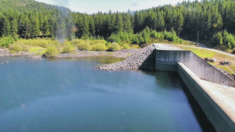
The Sooke Lake Reservoir that provides the capital region’s water supply is almost entirely reliant on rainfall.
The River Forecast Centre’s snowpack report due for release on April 10 will include vital information about the coming flood and drought season because it will have the most up-to-date snow and rain measurements, Campbell said.


