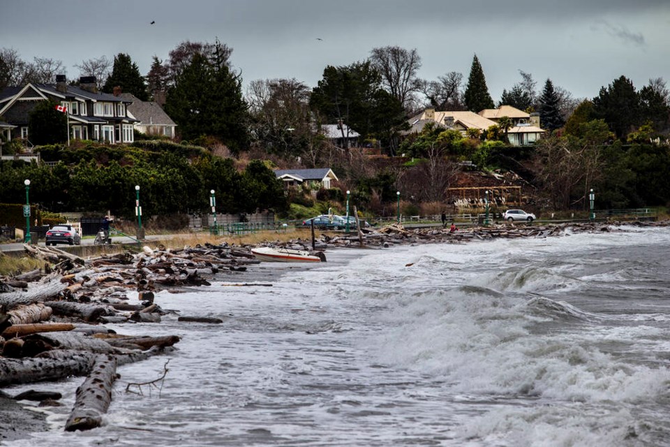
Strong winds, 70 km/h gusting to 90 km/h, are expected today for Greater Victoria and parts of Metro Vancouver, and will continue until tonight, Environment Canada said in a weather warning issued Saturday.
The wind will be accompanied by warmer temperatures and rain, leading to rapid melting of snow that’s on the ground. A high 7 C is forecast for Greater Victoria, and a low of 2 C. Until at least Friday, rain or showers are expected, with daytime temperatures of 4 C to 6 C, and nighttime lows around freezing.
Environment Canada also warned that snow is expected to intensify over the Trans-Canada Highway Eagle Pass to Rogers Pass, continuing until Monday night.
Northern B.C.’s interior can expect up to 20 cm of heavy snow over Teslin, Cassiar Mountains and Watson Lake, while central and north coasts can expect up to 50 cm of snow.
For the Sea to Sky corridor, snow will intensify overnight Saturday and continue through today, with up to 50 cm also expected.


