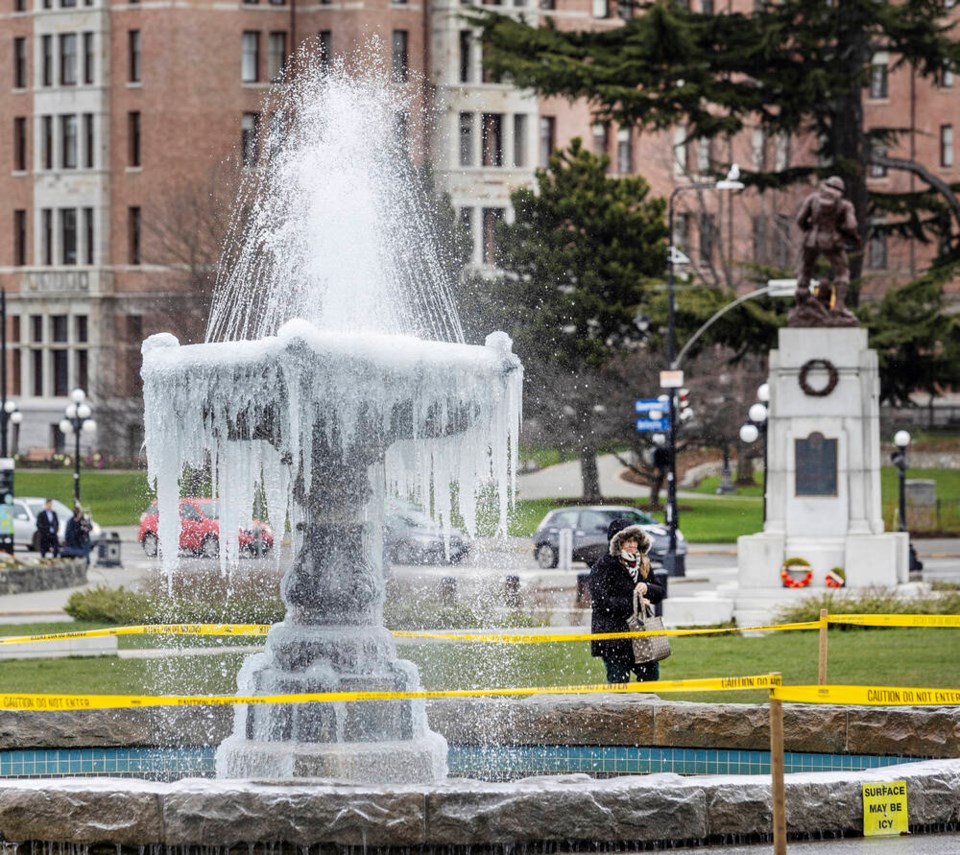
Snow is expected to start falling about noon Saturday in Greater Victoria, and should be at its heaviest from around 5 p.m. to 10 p.m.
Environment Canada meteorologist Armel Castellan said up to a centimetre an hour could fall during that time for a total of about five centimetres in coastal, low-lying areas.
The daytime temperature will be around 2 C.
Greater accumulations can be expected on the West Shore, and the Malahat could see 10 or more centimetres over the same period, Castellan said.
Lake Cowichan and Chemainus could see even more still, he said, as could Comox and Campbell River.
He said Qualicum Beach is set to have another round of snow but won’t see a repeat of the approximately 35-centimetre snowfall it experienced earlier this week.
“That will have been a bigger event for them than this one.”
Up to 15 centimetres of snow is expected at the Alberni Summit on Highway 4.
The Ministry of Transportation cautioned that all personal vehicles travelling the Malahat or the Alberni Summit must have proper winter tires — with an M+S symbol for mud and snow or with a mountain/snowflake symbol — while all commercial vehicles must carry chains.
A special weather statement issued by Environment Canada said snowfall across Vancouver Island and the southern Gulf Islands will turn to a few flurries or showers by Saturday night.
Motorists should be prepared for “challenging” driving conditions, the statement said.
Victoria’s snow will get slushy on Sunday thanks to the daytime temperature rising to 7 C and a 40 per cent chance of rain, Castellan said.
The warming trend will be seen in other Island centres, as well.


