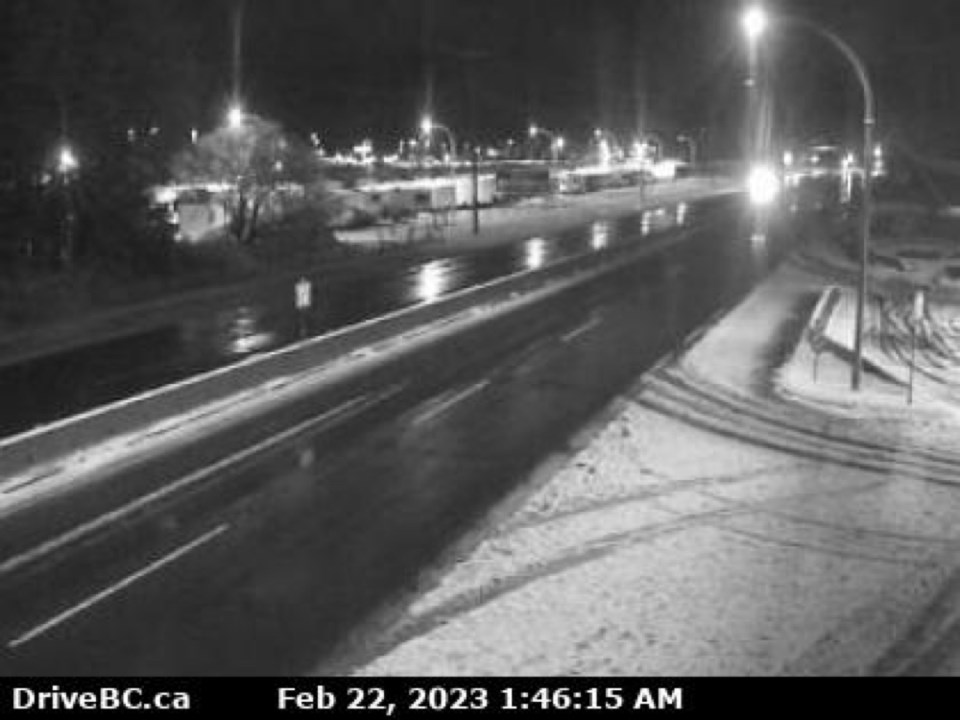
Update: Two to 10 centimetres of snow and strong winds with gusts of 60 km/h can be expected today in Greater Victoria and the Southern Gulf Islands, Environment Canada said in a special weather statement.
Snow can be expected for the southern half of Vancouver Island; heavier snowfall is predicted from the Malahat to Nanaimo. Be prepared for slippery road conditions and airborne debris from the strong winds. Temperatures are forecast to be around 0° C for much of the day.
In Greater Victoria, the snow is expected to begin around 9 a.m. and continue into early Thursday.
Power outages were being reported early Wednesday, including one that was caused by a tree falling onto power lines that affected 769 customers in Langford and View Royal
Earlier story:
Warming centres in Victoria were opened for homeless people overnight Monday in response to a high-winds forecast, with gusts up to 40 kilometres an hour, temperatures dropping as low as -4 C by mid-week, rain, and a chance of flurries.
Environment Canada issued a wind warning for Greater Victoria, with winds of 40 km/h expected in the night, and gusts up to 70. Winds are expected to be stronger near Juan de Fuca Strait, with possible gusts up to 100 km/h.
Derek Lee, a meteorologist with Environment Canada, said a low pressure system affecting much of the province is responsible for high winds and rain.
“We are looking at moderate to strong wind, especially over Greater Victoria,” Lee said. The strongest winds were expected just before midnight Monday.
The City of Victoria planned to open a warming centre overnight for people living on the street to take shelter from the high winds and cold.
The warming centre at St. John the Divine Church, 1611 Quadra St., was set to open 8 a.m. to 8 p.m. An overnight shelter operated by Cool Aid at Rock Bay Landing, 535 Ellice St., was set to open 9 p.m. to 8 a.m. Anyone looking for a mat in the overnight shelter can call 250-383-1951 to reserve a mat.
Strong winds could toss loose objects and debris, and affect ferry sailings, Lee said, although B.C. Ferries appeared to be unaffected Monday afternoon.
A downed tree in Duncan cut power to more than 2,000 customers Monday afternoon. About 50 customers near Brentwood Bay were also without power because of a downed tree across power lines.
High winds are expected to subside Tuesday, with unseasonably cold temperatures and possible flurries to follow starting Wednesday.
Overnight lows are expected to dip below freezing, with a low of -4 degrees Celsius forecast for Thursday night, while daytime temperatures for week range from about 2 to 7 degrees.
“As we make our way into later in the work week, by the end of the work week, things should be cooler by about five to 10 degrees below average for this time of year,” Lee said.
Temperatures might climb slightly on the weekend, but are still expected to be below normal, Lee said. While temperatures are forecast to be unseasonably cold, they’re not likely to reach a record low for this time of year of around -8 C, he said.
>>> To comment on this article, write a letter to the editor: [email protected]


