When Jeri Grant was talking about tsunami waves with schoolchildren in Port Renfrew last year, they feared a giant wave would wash over their town and the entire Island.
When the emergency co-ordinator for the Juan de Fuca Electoral Area went back this week for the annual high ground hike and an early start to Tsunami Preparedness Week, they all knew better.
“They knew how to protect themselves during the earthquake first,” Grant said. “Their school is already on high ground and if a wave does come, it won’t be the big one they imagined in the movies and they would be safe where they were, which is already on high ground.”
Many make the same mistake, Grant said.
She said a tsunami warning doesn’t mean you have to run for the highest mountain. It means preparing yourself ahead of time with a plan, an emergency kit or grab bag of supplies, and then, when the earthquake starts, protecting yourself by dropping and covering.
When the shaking stops, count to 60, grab your supplies and move away from the water.
Grant, who is also chair of ShakeOut BC, said that while earthquakes like the one this month in Taiwan might trigger tsunami alerts here, there is time to assess and to get to safety if needed. The Fukushima tsunami in 2022 took 11 hours to reach the west coast and, when it did, the waves were under one foot.
Based on modelling, larger quakes associated with the Cascadia subduction fault off our coast are likely to cause tsunamis of up to seven metres, Grant said. The waves could take several minutes, depending on the location of the quake and where you are, but safety is often just a matter of getting away from the water or low-lying areas close to the coast.
If you live in a tsunami notification zone and a tsunami warning is issued, it will be broadcast across television, radio and mobile devices through B.C.’s emergency alert system.
On May 1, the Canada Earthquake Early Warning System will be operational and will send emergency alerts to smartphones, TVs and radios through the National Public Alerting System, similar to Amber Alerts.
In addition to the alerts, other tools will be used to warn people, including coastal siren systems, local government emergency alerts and social media, such as @EmergencyInfoBC on X (formerly Twitter).
It’s good to be prepared, Grant said, by visiting the Capital Regional District’s tsunami information portal, which details tsunami inundation mapping, showing coastal areas where potential waves would proceed from earthquakes on the Cascadia and Alaska-Aleutian subduction zones and local shallow crustal faults.
Knowing where you are in the event of the tsunami can help residents and visitors plan an evacuation or just stay put, said Grant.
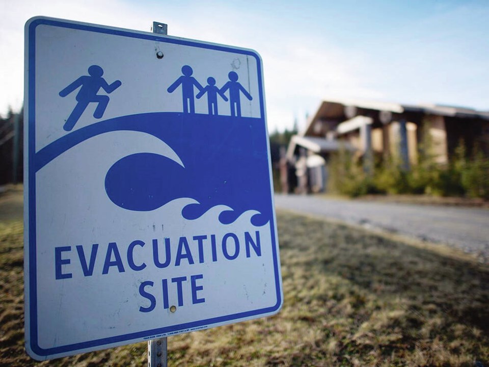
Dozens of communities around the Island will be holding high ground hikes this week to highlight evacuation routes in the event of a tsunami, as part of Tsunami Preparedness Week.
On Salt Spring Island, emergency program co-ordinator John Wakefield said a high-ground hike is being held on Friday from 1 to 3 p.m. starting at the fire hall in Ganges.
He said knowing vulnerable areas and where the high ground is located is invaluable, ensuring that no matter where you are on Salt Spring, there’s safe refuge in the event of a tsunami warning.
Like many coastal communities, the community of 11,500 is well-organized, with about 60 neighbourhood pods and 350 volunteers who help with emergency planning for all sorts of potential disasters, Wakefield said.
Metchosin Fire Chief Stephanie Dunlop said that community’s emergency neighbourhood pods will be hosting High Ground Hikes on Monday at 6 p.m. with groups meeting at Taylor Beach, Tower Point and Sandgate Beach to go over high ground locations and general earthquake preparedness.
Royal Roads University in Colwood is planning its own high ground hike on Friday from 10 a.m. to noon, providing an opportunity to practise what to do in the event of a tsunami. Colwood Fire Rescue personnel will be on hand to answer questions, show emergency equipment and display area tsunami evacuation maps.
Jackie Arsenault, director at Toquaht First Nation in Ucluelet, said the nation’s primary residential area, Macoah, home to about 40 people, is at direct risk for tsunami flooding, so it’s holding an event on Wednesday to inform members about what to do and where to go.
Arsenault said the Macoah emergency team has been training for several years in various forms of emergencies, including rapid damage assessment and simulated emergencies involving other agencies, first aid and outdoor survival.
Last year, tsunami sirens were installed within the Macoah community as well as the nation’s Secret Beach Campground.
Arsenault said the team will be considering risks including potential damage to bridges and gravel roads, debris from a tsunami, damage to water/sewer infrastructure and the ability to safety evacuate to high ground.
To read the PreparedBC Earthquake and Tsunami Preparedness Guide, go to preparedBC.ca/tsunamis.


