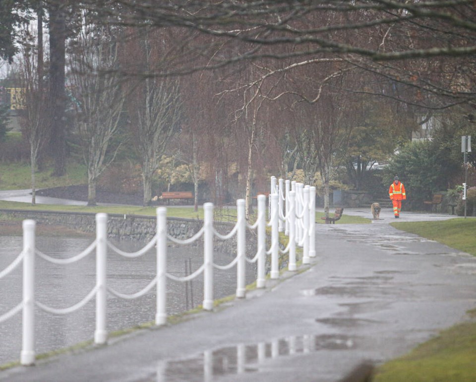
Heavy rain warnings remain in effect for most of Vancouver Island — though not Greater Victoria — with a series of atmospheric rivers expected to bring up to 150 millimetres of rain to the west side of the Island by Thursday morning.
Environment Canada said rainfall and rising temperatures with melting snow will lead to higher river and stream flows and localized flooding in several areas.
Road-maintenance companies were warning motorists to slow down and drive with caution as a series of pounding rainstorms could create washouts and pooling or running water on roadways and hamper visibility.
On the west side of the Island, heavy rain was expected to continue through Wednesday before beginning to ease early Thursday morning.
The federal agency said Wednesday afternoon that 90 millimetres of rain had fallen on the west side of the Island in the past 24 hours, with an additional 60 to 80 mm expected by Thursday morning.
Environment Canada issued a special weather statement for warmer temperatures and heavy rain on east Vancouver Island, from Nanoose Bay to Fanny Bay, where up to 50 mm of rain was expected to fall between Wednesday and early Thursday, causing localized flooding and high stream levels.
Avalanche Canada said the risk of slides on the Island remains extremely high, especially in the alpine, and “considerable” at the tree line to the base of mountains.
“Rain and warm temperatures will continue to saturate the snowpack at all elevations, creating prime conditions for wet loose avalanches,” the agency said.
The B.C. River Forecast Centre is asking people to stay clear of fast-moving rivers and streams, citing unstable banks and “minor to significant flooding” risk.
“The combination of low elevation snowpack, warming temperatures and heavy rainfall will result in rapid rises for creeks and rivers, especially at low and mid‐elevation watersheds on the Island,” said the centre.
The latest storm was forecast as the B.C. government extended the provincial state of emergency declared after storms in November damaged highways — including the Malahat — and flooded communities. Five people were killed.
In a statement, Public Safety Minister Mike Farnworth said the state of emergency is being extended until next Tuesday as work continues to repair the highways.


