Environment Canada ended its rainfall warnings for Vancouver Island early Friday afternoon but flood watches and high stream advisories remained in effect.
The B.C. River Forecast Centre has issued flood watches for central, east and south Vancouver Island and a high streamflow advisory for north and west Vancouver Island. Rivers were expected to rise to peak levels Friday and into today.
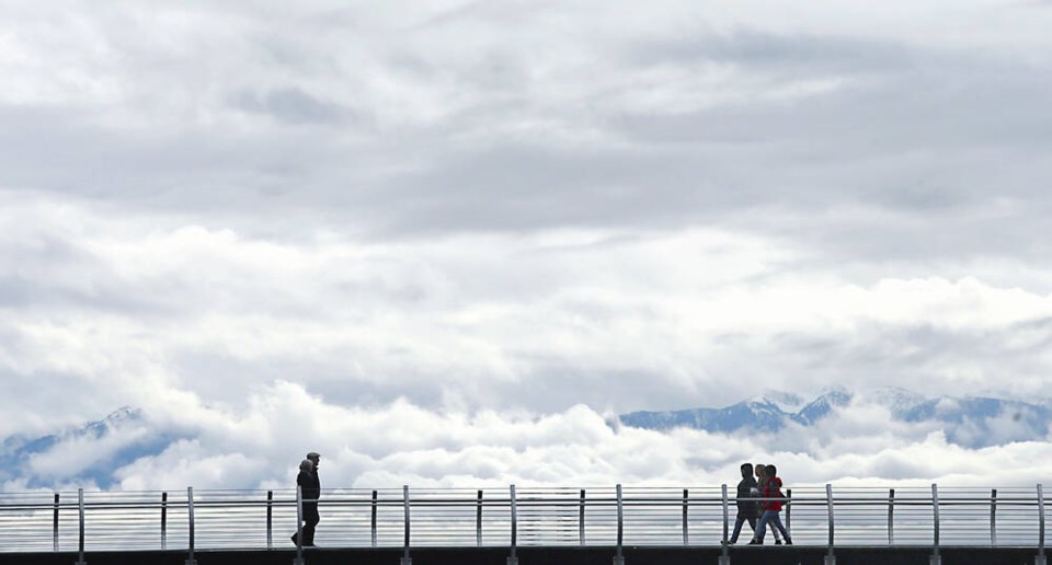
Rivers and streams are flowing high right now and people in and around those areas need to take extra care, Environment Canada meteorologist Bobby Sekhon said Friday.
“It’s going to be a mixed bag of weather over the next few days, generally remaining on the warm side of things with temperatures near average or above. We’ll get everything from cloud to sun to rain,” Sekhon said. “I wouldn’t rule out some gusty winds on Sunday, but I’m not expecting them to be at the warning level.”
Today is expected to be a warm day with a mix of sun and cloud for Greater Victoria. More rainfall is forecast for Sunday, but it’s not expected to be heavy.
“There will be a break in the weather systems on Monday and on Tuesday another weather system is coming through. At this point, we’re not seeing it as a severe system, but we’re keeping a watchful eye out,” Sekhon said.
Meanwhile, Avalanche Canada is warning of “considerable danger” on Vancouver Island, which means natural avalanches are possible and human-triggered ones are likely.
“It’s a dangerous time to play in the mountains,” said Colin Garrity, forecaster and head of the Vancouver Island field team, which heads into the mountains four days a week.
“We’ve got really active avalanche conditions and that’s typical for coastal climates and Vancouver Island is no exception. We have really, really active, what’s called a direct action, avalanche cycle. There is heavy snow, lots of winds. It’s just really pounding down. And while that is all going down, avalanches are happening.”
Where snow is falling, it’s accumulating rapidly and wind is blowing it into thicker deposits that form a stiffer kind of slab that can propagate a crack, Garrity said. Avalanches can be triggered naturally just by the snow loading.
“A dry-slab avalanche is extremely dangerous,” he said. “They move very fast and are very likely to bury, injure or kill someone.”
Conditions are much more predictable at lower elevations, where the snow is wet and slushy. It’s much less likely for people to be caught in a wet loose avalanche, he said.
It’s important for people to remember that conditions change quickly — for better or for worse, Garrity said.
There is uncertainty about Saturday but by Sunday, forecasters will have a better idea of the snowpack condition, he said.
“When you get back out there, keep your plans flexible and make an assessment of the conditions before making commitments to different pieces of terrain.”


