The Island was blanketed with snow last year at thhis time, but with just days to go until Christmas, the official local forecast for Santa’s annual visit doesn’t include the white stuff.
The story is the same for much of the country, with Environment Canada head climatologist David Phillips saying that uncharacteristically dry, warm weather doesn’t bode well for a white Christmas.
“If you don’t have snow now, you’re not going to get it,” he said. “Many areas that traditionally have a white Christmas, it’s going to be touch and go.”
The technical definition of a “white Christmas,” said Phillips, is two centimetres of snow that actually sticks around.
“That’s the Canadian standard. Millions of Canadians won’t have one.”
Calgary’s few scruffy patches of crust are awaiting their fate in the face of forecasts for well-above-freezing temperatures and warm chinook winds. Ottawa, where big dumps are common, lawns are covered with an icy powder that won’t do for sledding or snowballs — but at least sparkles nicely in the sunlight.
In Montreal, toboggan runs off Mount Royal are closed, and heavy rain and mild temperatures have closed skating rinks.
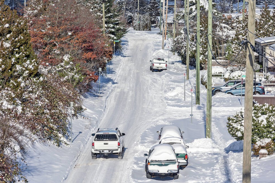
After two white Christmases in a row, Vancouver is almost certain to end its streak this year.
If you want snow, you have three choices: the Newfoundland coast along St. John’s, Quebec’s Saguenay region and a tiny pocket of the Rockies in deep southwest Alberta. All have 15 to 20 centimetres more than average — not epic, but enough to roll a snowman or slide down a hill.
“The snow hasn’t had a chance to collect,” Phillips said. “It’s just been too warm and too dry. We’ve been setting all kinds of records for warm temperatures and that’s been the situation for all the summer and certainly into October and November.”
El Nino — a periodic weather system that brings warm weather to much of North America — is behind part of the strange weather. This year, the system began early and strongly, Phillips said. As well, Arctic air pushing down into southern latitudes hasn’t been as cold as normal.
But it’s all taking place in a changing climate that made 2023 the hottest summer around the globe in recorded history.
After a sunny weekend, Greater Victoria is due for a balmy 8 C and showers on Monday — a little warmer than the average high of 6.6 C for the day — followed by more rain through mid-week.
Elsewhere on the Island, Christmas in Nanaimo, Port Alberni and Port Hardy looks to be rainy with a high of 7 C.
Environment Canada meteorologist Lisa Erven said temperatures across the Island are trending above the average high of 6 C from Christmas Eve day through Boxing Day.
“The warmth is pretty widespread,” she said.
Even the chances of snow at higher elevations in places like the Malahat and Highway 4 are slim for now, Erven said.
Snow coverage was spotty by the time Christmas 2022 arrived meaning there was no white Christmas, which Environment Canada defines as having at least two centimetres of snow on the ground.
Environment Canada has set the chances of Victoria having a white Christmas at 16 per cent, based on records from 1997 to 2021, with Vancouver’s eight per cent, Toronto’s 40 per cent and both Yellowknife and Whitehorse 100 per cent.
While the Island’s outlook is relatively mild, Erven stresses that people planning to travel over the holidays to other parts of B.C. should check the destination’s forecast as well as conditions on their travel route, “especially for the highway passes as you get into the Interior.”
“There’s going to be winter weather somewhere, depending on exactly when you’re travelling.”
Route conditions are available on the DriveBC website, Erven said.
— With a file from The Canadian Press


