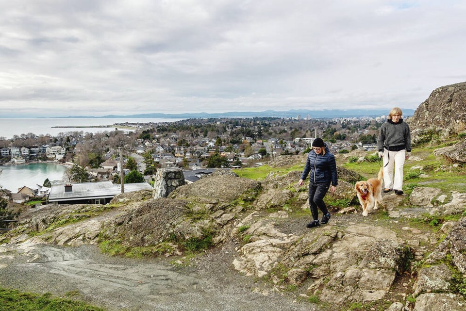
Yes, December in Victoria was as warm as it seemed, with the highest-ever temperature totals for the month measured at Gonzales weather station.
Victoria’s mean temperature at Gonzales for December was 7.7 C, well above the normal mean temperature of 5.2 C. Temperature and precipitation have been recorded at Gonzales since 1874.
Environment Canada meteorologist Lisa Erven called the “temperature anomaly” of 2.5 degrees fairly substantial, noting much of B.C. saw above-normal temperatures for the month.
“Many locations were within their top five and some locations hit their warmest December on record.”
Joining Victoria in that group were Comox, Campbell River, Vancouver and Abbotsford.
Comox had a mean temperature of 6.5 C in December, up from the normal of 3.5 C, and Campbell River’s mean temperature was 5 C — above the typical 2.1 C.
As for precipitation, Erven said there was “a bit of a split weather pattern” for the Island in December, with Victoria at Gonzales receiving 84 per cent of the normal total and Victoria International Airport receiving 87 per cent, while Comox had 138 per cent and Campbell River 120 per cent.
Precipitation on the north Island was boosted by some heavy rainfall late in the month, Erven said.
Part of the reason for December’s relative warmth is that many of the month’s weather systems approached from the southwest, she said.
“When that happens, they typically bring up more mild air from southerly origins,” Erven said. “As our weather systems made their way through the province, they were bringing that mild air with them.”
That meant precipitation largely fell as rain at low elevations, and even at middle and upper levels at times, she said.
Erven said temperatures should begin to drop to more normal levels once the weekend arrives.
“Basically we’re going to finish out this week in an active weather pattern, so that means periods of rain and mild temperatures,” she said. “But then as we get into the weekend, the cold front goes through and we will be looking at temperatures that are way more seasonal for this time in January.”
The result for Victoria should be daytime highs in the low to middle single digits and overnight lows approaching zero, with any chance of snow at low elevations most likely to come toward the end of next week.
Farther up the Island, there is a possibility of snow at higher elevations — perhaps including Mount Washington — at the beginning of next week, Erven said.
She said that the Malahat doesn’t appear to be due for snow any time soon, but those travelling on Highway 4 between Port Alberni and Tofino and Ucluelet should be prepared for the potential for snow Sunday into Monday.
>>> To comment on this article, write a letter to the editor: [email protected]


