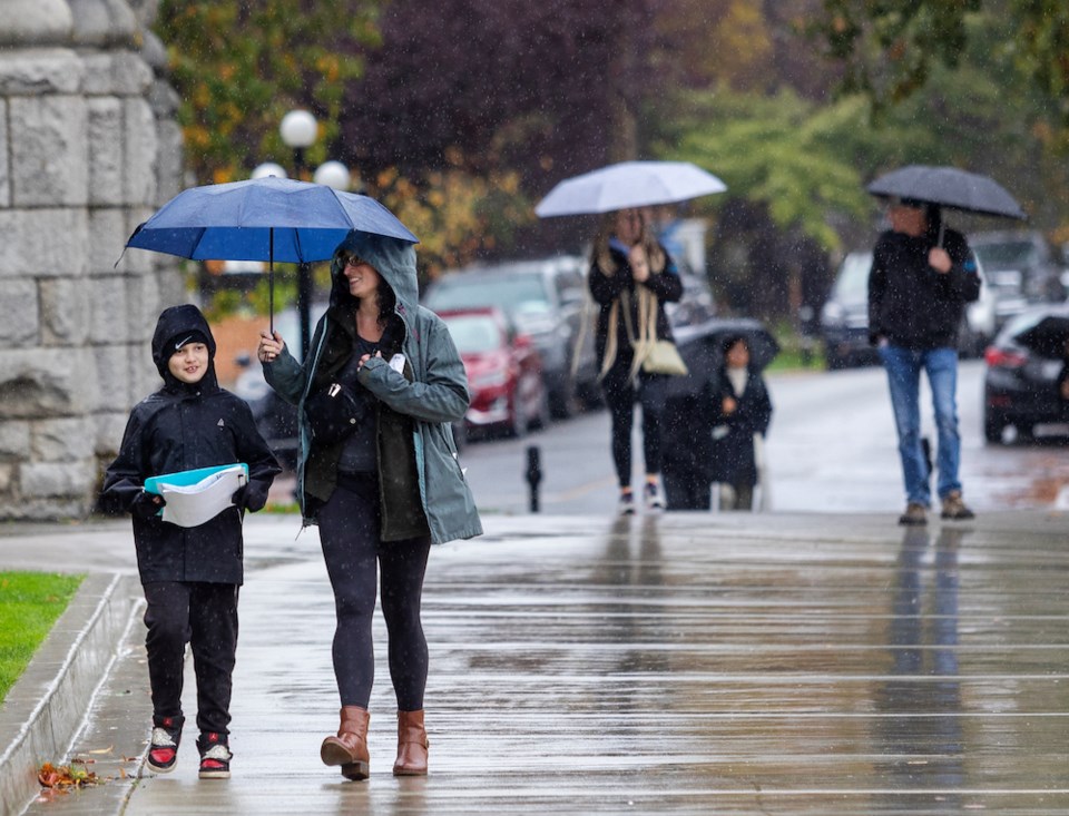
Environment Canada has issued a weather alert for the Malahat highway, warning drivers that heavy rain during the Tuesday afternoon commute could reduce visibility and result in water pooling on the roads.
Drivers should also prepare for winter driving conditions, as wet snow is a possibility for the Malahat summit.
Up to 70 mm of rain is expected to fall from the Malahat north to Nanaimo, while Greater Victoria, the southern Gulf Islands and east Vancouver Island, from Nanoose Bay to Fanny Bay, could see 30 to 50 mm of rain and gusty winds.
The heaviest rain is expected to fall on Gabriola, Thetis and Salt Spring islands. In Greater Victoria, the highest rainfall amounts will likely be the Saanich Peninsula, Langford and Goldstream.
A special weather statement is also in place for inland Vancouver Island, where up to 10 centimetres of snow is expected to fall on the highest elevations of Highways 4, 19 and 28.
Higher elevations such as the Port Alberni summit between Coombs and Port Alberni and Sutton Pass between Port Alberni and Kennedy Lake will likely see snow, Environment Canada said, as will higher elevations of Highway 28 between Gold River and Campbell River, and Highway 19 between Port Hardy and Campbell River.
Environment Canada said there is still some uncertainty about how much precipitation will fall. Travellers are advised to keep a close eye on the forecast and adjust their driving to the changing road conditions. Road conditions are available at drivebc.ca.
If visibility is reduced while driving, turn on your lights and maintain a safe following distance. Watch for possible washouts near rivers, creeks and culverts.
This first snowfall is a good reminder that winter tires or chains have been required on some Vancouver Island highways since Oct. 1, said Armel Castellan, warning preparedness meteorologist for Environment and Climate Change Canada.
“It’s a great reminder to be ready,” Castellan said. “And it’s not just about winter tires. It’s about thinking, do you need to go if it’s going to be bad? Do you have to put yourself in that situation?"
If you do need to travel, make sure you have extra food and water, warm blankets, a full tank of gas and extra batteries for your phone, he said.
"All those things can make a really bad day not get any worse.”
Tuesday’s heavy rain is expected to ease overnight as a low pressure system moves out of the area.
However, lower-than-normal temperatures could last the better part of a week, if not longer, Castellan said.
The temperature in Greater Victoria is expected to drop to –1 C by Friday evening. The normal low is around 6 C.
Castellan said this is the first time since before May that there has been more than a day or two of below-seasonal temperatures.
“It’s been a while and that’s why it’s going to hit us extra hard,” he said. “This will feel colder than if it happened in February or March. It is actually colder than seasonal.”