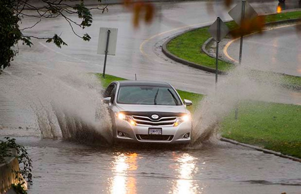
Monday morning brought a break from the rain that pounded the Lower Mainland this weekend, but forecasters warn that the dry conditions won’t last for long.
The rain is expected to return Tuesday night when a new frontal system moves through the region, bringing an estimated 15 mm of precipitation, according to Environment Canada meteorologist Michel Gelinas.
“The next one could be fairly major again. It’s a little early to ring the alarm bells, but in the Thursday night to Friday morning time period we could see a fair bit of rain again: around 50 mm for a lot of places around the Lower Mainland and more than that over the North Shore,” Gelinas said.
The rainstorm that hit Metro Vancouver this weekend helped break two daily precipitation records. West Vancouver received 99 mm on Saturday, nearly doubling the previous Nov. 7 record of 55.2 mm set in 1995, while Vancouver International Airport measured 46.2 mm on Saturday, breaking the 1995 record of 31.6 mm.
Rainfall levels were high across the Lower Mainland during the storm, but the North Shore was positively drenched. West Vancouver saw about 115 mm of rain at the Upper Levels Highway on Friday and Saturday, while Mahon Park in North Vancouver received 100 mm.
Port Moody, Coquitlam and Burnaby Mountain all saw more than 90 mm during the storm, while Vancouver Harbour measured 72 mm and the airport received 50 mm.


