Add last week’s snow to two weeks of rain in Greater Victoria so far this month and the overall precipitation is about 200 millimetres — well above the January average of 143 mm, with still seven days to go until February.
“So far we’re at 140 per cent of normal,” said Environment Canada meteorologist Armel Castellan, noting there was only one day so far this month when precipitation was not recorded at Victoria International Airport.
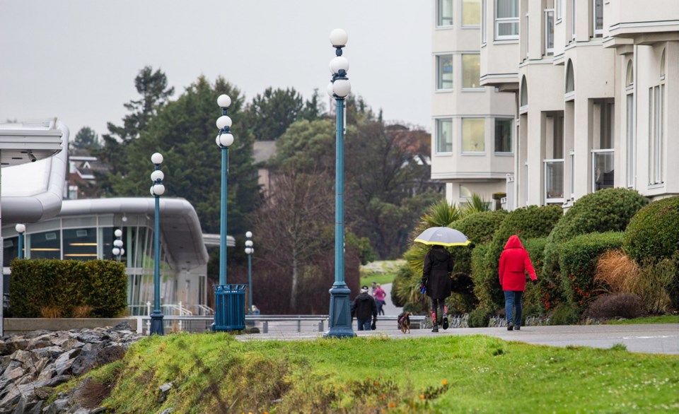
The current run of rainy weather is expected to continue at least until the middle of next week.
“It’s a fairly active stretch,” Castellan said. “It’s been really, really wet.”
The River Forecast Centre issued high streamflow advisories for rivers and streams on much of the West Coast, including the southern end of Vancouver Island. The warning means river levels are rising or are expected to rise rapidly and minor flooding may occur in low-lying areas.
Both the Malahat and North Cowichan saw upward of 40 millimetres of rain from Wednesday through Thursday afternoon, and Cowichan Bay Road was closed Thursday due to flooding between Tzoualem Road and the Trans-Canada Highway. Bowser received 47 mm over the same period.
Castellan said the rain could lead to more flooding in some parts of the Island. The potential for landslides is also elevated with that volume of water, he said.
For the next few days in the capital region, showers are expected every day, with occasional periods of heavier rain, including Sunday night into Monday.
The peak rainfall for the Island this week was at the Effingham forestry station near Barkley Sound, with about 540 mm over the past four days. From Wednesday into Thursday, that location had 11 straight hours with rainfall of 10 mm or more an hour — including 48 mm from 3 a.m. to 5 a.m. Thursday, Castellan said.
He said 48 millimetres of rain in two hours is approaching subtropical levels.
Elsewhere in B.C., the relentless rain set off a mudslide, swelled rivers and shut roads.
A slide near Burnaby Mountain forced the evacuation of six homes after a retaining wall failed.
Chris Bryan with the City of Burnaby said about 20 metres of a wall gave way, damaging a garage on the adjacent property below.
He said a geotechnical engineer has been called in to determine if there is any further risk to the nearby homes.
Numerous streets in Metro Vancouver were closed off Thursday as water rose when storm drains were overwhelmed.
Back on the Island, David Sparanese, senior manager of public works in Saanich, said municipal drainage systems have been holding up so far.
“Obviously at this time of the year, the ground can be pretty saturated, and as we continue to get a little more rain, it can cause some potential overland drainage or flooding issues,” he said.
“We do try to make some sandbags available to our residents.”
— With files from The Canadian Press