A heat wave consuming huge swaths of North America is set to hit British Columbia, triggering extreme weather warnings across Western Canada — including parts of Vancouver Island.
The Meteorological Service of Canada is forecasting record-breaking temperatures over the coming days, warning of daytime highs above 40 C in some areas of B.C. Environment Canada has issued weather alerts due to “a dangerous long-duration heat wave.”
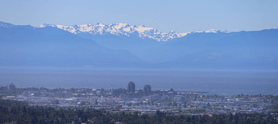
Temperatures in Greater Victoria could hit 37 C on Monday, with similar temperatures predicted across much of the Island.
Armel Castellan, a warning preparedness meteorologist with Environment Canada, described the incoming weather as “the main event” after a dry May.
“It’s been so dry. We’ve had record-breaking dryness for the Interior and south coast,” he said. “Now, we’re talking about dangerous conditions.
“It might even be looking at all-time records for some locations.”
The incoming heat is being treated as a public-health threat, with infants and young children, older adults and people with chronic conditions facing the greatest risks.
Those working outside in such conditions also need to protect themselves as best they can.
Environment Canada recommends drinking plenty of water, checking in on older family, friends and neighbours, and to check for signs of heat illness, including dizziness or fainting, nausea or vomiting, rapid breathing and heartbeat, extreme thirst, and decreased urination with unusually dark urine.
The coming heat is expected to be made worse by extreme ultraviolet indexes.
So soon after the solstice, UV levels have reached peak levels in many parts of the province; covering up with a hat to ward off heat exhaustion is a must, Castellan said.
He recommended anyone with an air conditioner check that it’s in working order.
Those without one should check in with their municipality to see if cooling stations will be set up.
Drought conditions have been building across much of western North American for months. But the latest heat wave is something else. Faron Anslow, who leads climate analysis and monitoring at the Victoria-based Pacific Climate Impact Consortium, said it’s normal for the “heat dome” usually sitting on top of the U.S. southwest to push into B.C. over the summer.
A heat dome forms when the jet stream migrates north, allowing an intense, high-pressure system to create a cap over hot ocean air.
When that air descends, it warms. By trapping heat at the surface, the “dome” creates a feedback effect leading to sweltering conditions from day to night.
What’s different about the approaching high-pressure ridge this time is its “huge amplitude,” Anslow said.
“This is in that more rare category,” he said. “The ridge from north to south is large. It’s got a lot of hot air embedded in it.”
The wave of high pressure is so large, he said, that it’s expected to bring extreme hot weather in the area from Oregon to southern Alaska. It’s also expected to bounce back with another round of hot weather a week later.
“We’re looking at what might be a pretty long event,” he said.
Climate scientists are not at the point where they can pin a single extreme weather event to climate change on the fly, but all the telltale signs are there, Anslow said.
“What we can say is that these heat waves are consistent with climate change,” he said.
“They line up with what we expect from climate models.”
— With a file from the Times Colonist