See our roundup of road conditions, weather updates and other information here.
- - -
What do Arctic air, blowing snow and bitterly cold windchills have in common?
Us.
The Victoria-becomes-Edmonton forecast is calling for snow throughout Friday with the extra punch of strong, bitterly cold Arctic winds beginning in the afternoon, Environment Canada meteorologist Matt MacDonald said.
“The Greater Victoria area will receive anywhere from two to five centimetres of snow but as you head inland, the amount of snow is going to increase pretty significantly. For example, the Malahat could see in excess of 10 centimetres.”
Snowfall warnings issued Friday morning for east Vancouver Island, from Duncan to Campbell River, west and inland Vancouver Island, and Greater Victoria were lifted about 3:45 p.m.
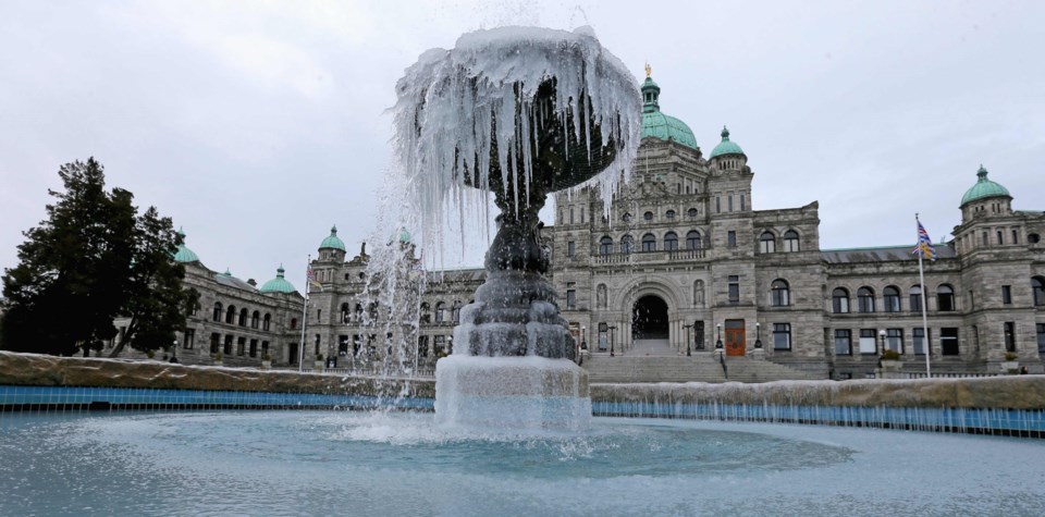
A wind warning was in effect for Greater Victoria and the Southern Gulf Islands.
Environment Canada has issued a wind warning for this evening, affecting #FraserValley #SurreyBC #LangleyBC #VictoriaBC & #GulfIslands. Crews are mobilizing so we can be prepared to respond in the event of any power outages. Are you prepared? https://t.co/EPHwEIEpjO #BCStorm pic.twitter.com/LBnXscXSQj
— BC Hydro (@bchydro) February 8, 2019
The snow was expected to intensify in the afternoon. Environment Canada said areas away from the water and over higher terrain such as the Malahat, Shawnigan Lake and Cowichan Lake will see the highest accumulations of snow with amounts near 10 centimetres by Saturday morning. Areas near the water such as downtown Victoria may see upwards of five centimetres of snow.
A second surge of Arctic air pushing down from northern B.C. will pick up moisture as it crosses the Strait of Georgia, creating snow squalls.
“That’s the area that has the greatest potential of perhaps exceeding 15 centimetres of snow or more. It will all depend on where these snow squalls set up. They tend to be very localized and pinpointing exactly where they will materialize is very challenging,” MacDonald said. “There’s a potential, but we’ll have to wait and see.”
Greater Victoria and the southern Gulf Islands will experience damaging winds and bitterly cold windchills. A wind warning was issued on Thursday.
“The wind gusts could exceed 80 kilometres per hour,” MacDonald said.
“Because the snow will be light and fluffy, it will be blown around by that wind.
“So we can expect blowing snow and reduced visibility, particularly on the eastern side of the Island.”
MacDonald advised drivers to check Drive B.C. webcams and road conditions before heading out Friday afternoon.
“It could get quite hairy on the highway,” he said.
What a difference 30 minutes make. Was clear at 10 am - now snow covered at 10.30 am. #malahat #bcstorm #yyjtraffic pic.twitter.com/Pw0wbkqFXG
— Malahat Drive (@malahatdrive) February 8, 2019
Most side roads in the North Cowichan, Cobble Hill, and Duncan area are currently very pretty but with small accumulations of snow (Tzouhalem Rd pictured). Please drive to conditions and remember to give space to plows removing snow or spreading material. pic.twitter.com/CiKvrKGKwL
— Van Island District (@TranBCVanIsle) February 8, 2019
Snow (2-4cm) anticipated in the @MainroadSIsland Service Area in next 72hrs. Crews will monitor & perform snow removal on all #BCHwy as needed until event passes. Pls report observations & concerns to 24hr info line & drive for winter conditions. #bcstorm @TheZone913 @TheQdotFM pic.twitter.com/Wy8taD6koY
— MainroadSouthIsland (@MainroadSIsland) February 7, 2019
Live on #VanIsle? Or going there?
— DriveBC VI (@DriveBC_VI) February 8, 2019
Curious about how the weather is affecting the roads?
Check: https://t.co/dKgkQ1MnBe and our webcams: https://t.co/YL2yrLb4KH pic.twitter.com/N7bYiUzoHb
On Friday night, the temperature is going to dip down to about -3 C, but with the windchill it will feel more like -10 C or -15 C, said MacDonald.
The winds will persist throughout the day on Saturday and finally begin to ease Sunday morning.
“And in the longer term, there’s no major change in sight. We’re into this cold snap right through the end of next week. As long as this cold air is in place, we have the potential for additional snow,” said MacDonald
There is a chance of flurries on Monday, but the brunt of snow is expected Friday through early Saturday, he said.
The weather is expected to be cold, but clear and dry for the rest of next week, he said.
“We’re lucky with this system. The heaviest amounts are going to be south of the border. There’s the potential for a really significant snowfall,” said MacDonald.
Cliff Mass, a professor of atmospheric sciences at the University of Washington, is predicting a major snow event for the U.S. Pacific Northwest, perhaps the snowiest period since the large snowfall of December 1996, he wrote.