A strong ridge of high pressure is moving into British Columbia that could create near-record temperatures on the south coast and Vancouver Island — and has led to warnings about avalanches and rising rivers.
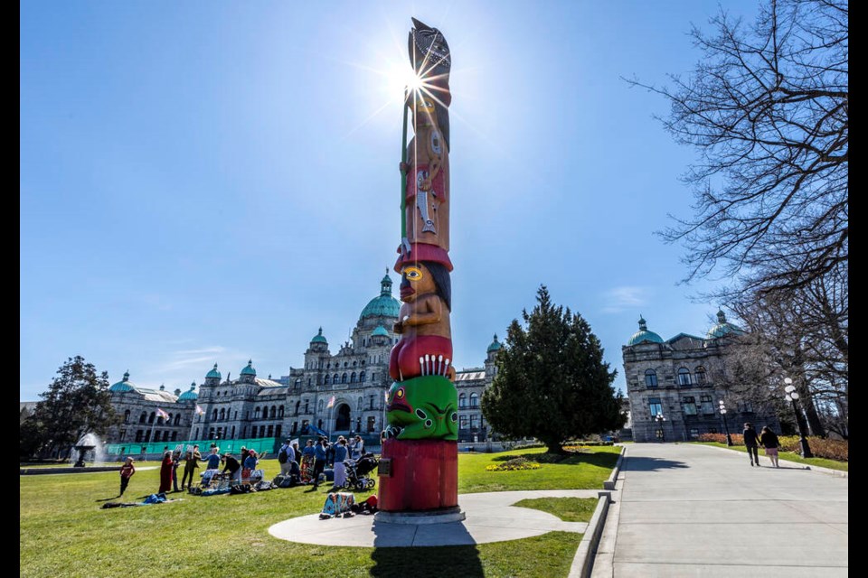
Environment Canada meteorologist Derek Lee said the peak warmth should be early in the weekend. The benchmark temperature at Victoria airport is predicted to hit at least 22 C on Saturday.
That could nudge close to the all-time high for April 29 of 23.5 C set in 1998. The average high for the day is 14.9 C.
Vancouver is forecast to see similar temperatures, and, as usual, inland temperatures will be even higher, with communities such as Coquitlam, Surrey and Langley getting highs in the mid to high 20s.
Across much of B.C., temperatures will be about 10 degrees above normal through the weekend before settling back to more seasonal norms next week, when some rain could accompany the shift to a low-pressure trough.
Although daytime highs could approach 30 C in some inland areas, Lee said it is too early in the season for heat warnings. That’s because peak temperatures are expected to last only about an hour each day before rapidly cooling under clear skies overnight.
Lee did caution, however, that anyone thinking of going for a swim is at risk of hypothermia because water temperatures are still very low in most areas.
Special avalanche warning
Meanwhile, a special avalanche warning has been issued due to a rapidly melting snowpack. Backcountry users are warned that rising temperatures are expected to destabilize the snowpack “resulting in dangerous, destructive avalanches,” said Avalanche Canada.
“The sudden transition from cool, wintry conditions in the alpine to warm temperatures will create dangerous avalanche conditions,” said Mike Conlan, a senior forecaster with Avalanche Canada. “The effect of the warm temperatures on the existing snowpack structure means that these avalanches will likely be very large and may run to valley bottoms.”
Conlan said some areas could experience avalanches “involving the full depth of the snowpack,” and those headed to the backcountry should stick to “simple, low-angle terrain, and avoid all overhead avalanche hazards.”
Forecasters for the agency have listed the mountains on Vancouver Island, the North Shore, Sunshine Coast and Fraser Valley as being at “considerable” risk, while Whistler and virtually everything west to Alberta is pegged at “high.” The areas around Banff, Jasper and the Kootenays are also listed as “considerable.”
Bowinn Ma, the minister of emergency management and climate readiness, said 14 people have died in avalanches in B.C. this year, and urged everyone “to take seriously the advice of Avalanche Canada” and avoid risky areas. Anyone headed to the backcountry should check the forecast at avalanche.ca.
The special warning will remain in effect until Monday.
River levels rising fast
B.C.’s River Forecast Centre has issued high streamflow advisories for sections of B.C. including the southern Interior and areas farther north, including Prince George, Quesnel and Williams Lake.
The snowpack in many parts of southern B.C., including Vancouver Island, is slightly below or about average — it was at about 76 per cent on the Island as of April 1. That’s due to a fall drought and low to typical precipitation for the first few months of 2023.
River conditions at higher elevations aren’t likely to be affected by the warm spell because the snowpack hasn’t “ripened” — that is, warmed up enough to start melting quickly — a result of a chilly start to spring. But at elevations around 900 to 1,500 metres, a quicker snowmelt is expected that could cause significant jumps in river levels.
No advisories had been issued for Vancouver Island as of Thursday evening.
— With files from Times Colonist and North Shore News