Update: Snow is in the Greater Victoria forecast for the coming week along with below-freezing temperatures. There's a chance of rain showers or flurries on Monday between 6 a.m. and 11 a.m., and a chance of snow on Tuesday, Thursday and Friday. Temperatures at night are expected to dip just below freezing.
- - -
Most of British Columbia, including parts of Vancouver Island, is subject to warnings and special weather statements as Environment Canada forecasts windy and snowy conditions this weekend.
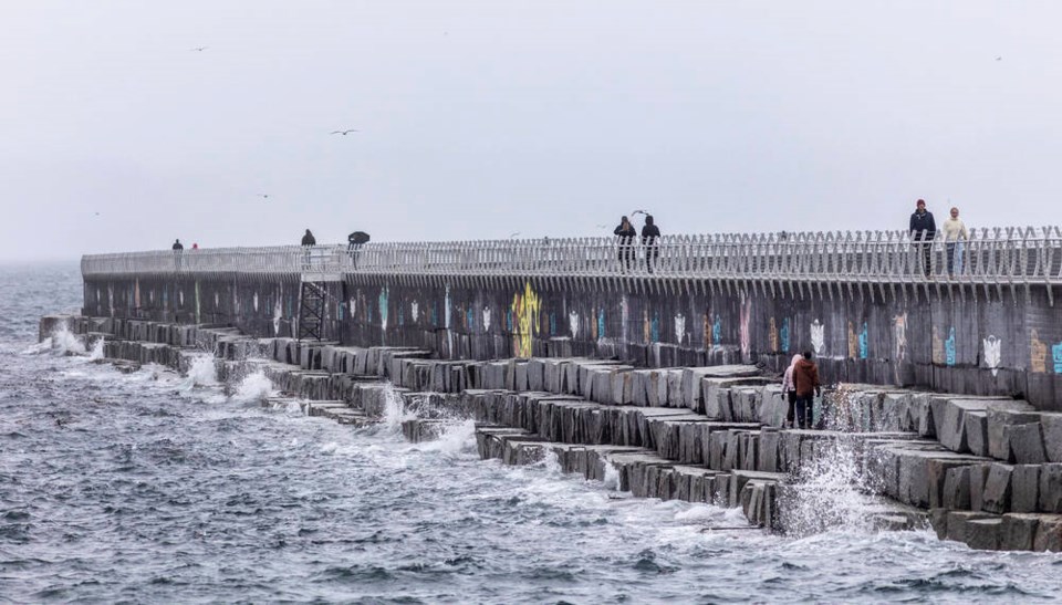
Strong westerly winds were predicted for Greater Victoria from late Saturday into Sunday morning. Winds of 70 km/h gusting up to 90 km/h are forecast, as a strong cold front crosses the Island, Environment Canada said.
The winds will become weaker Sunday morning but gusts are expected to continue.
They could be strong enough to cause power outages
There’s a danger of roof shingles coming off, windows breaking and tree branches falling, the agency said.
The heaviest snow is forecast for Fort Nelson, where the weather office says accumulations could exceed 30 centimetres before easing around midday Sunday.
The weather office has also posted winter storm warnings for much of the southern Interior, stretching from the eastern Fraser Valley to the Elk Valley near the boundary with Alberta, with up to 20 centimetres of snow expected in Fernie.
Heavy, blowing snow is forecast along high-elevation sections of highways throughout southern B.C., with accumulations up to 25 centimetres in the forecast.
Routes subject to warnings include the Coquihalla Highway from Hope to Merritt, the Okanagan Connector, the Trans-Canada Highway around Revelstoke, as well as high-elevation sections of Highway 3 in the south and Highway 97 in the northeast.
Meanwhile, lower-level special weather statements are in effect throughout the rest of the central Interior, where snow and winds are also expected.


