A tiny piece of plywood dropped into the sea off the Saanich Peninsula in late October has been retrieved from a beach on Haida Gwaii, providing another small piece in two environmental groups’ case against shipping oil off the B.C. coast.
Thousands of yellow plywood pieces have been dropped at different points from Vancouver harbour to areas off Victoria, along the path of a regular tanker route. The objective is to get an “indication of the potential spill trajectories,” said Ross Dixon, policy and program manager with Raincoast Conservation Foundation. His group is involved in the project along with the Georgia Strait Alliance.
The plywood “cards” ask those who find them to report the location. Those locations are being logged on an online map at salishseaspillmap.org.
More than 30 per cent have been recovered so far, indicating areas where an oil slick may affect coastal beaches. Many cards have been found in the Gulf Islands and San Juan Islands, Dixon said.
“We hope to use some of this information for our submission, if we’re allowed to intervene, for the National Energy Board’s review of the Kinder Morgan pipeline project,” he said.
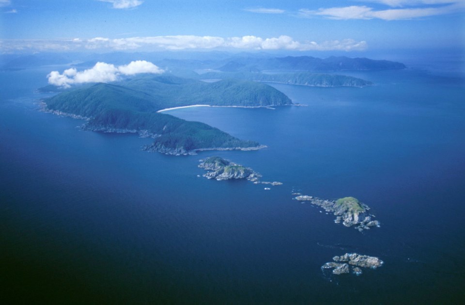
The card dropped off the Saanich Peninsula on Oct. 28 and found on Haida Gwaii has travelled the longest distance of the recovered cards, Dixon said.
Nine lots of cards were dropped in the sea in 2013 and there was another drop last week, Dixon said.
“What we want to do is continue doing drops in different conditions and seasons,” he said. “These drops occur in areas that we know to be of higher risk of a spill.
“The whole Salish Sea has been identified by the federal government as at a high risk for spills because of the vessel traffic.”
The card project is the foundation for more study, Dixon said.
“It allows us to start to build a number of pieces. We can see hot spots where the cards collect, so we can start to investigate what’s in those places to get a picture of what’s at stake,” Dixon said.
“We’re looking at the habitat of things like the southern resident killer whales, marine mammals and marine birds,” he said.
The impact of recreational opportunities is also part of the project.
“We’re looking at where marinas are located, where people sea kayak and where they walk the beach,” Dixon said.
“This builds a more accurate picture of what’s at stake beyond just the economic argument.”