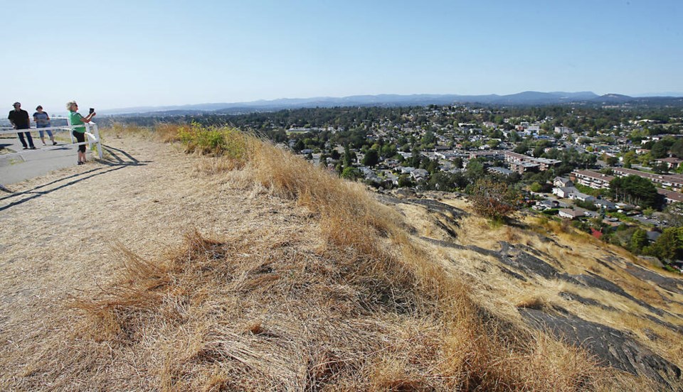
The forecast calls for periods of rain on Friday on most parts of the Island, a welcome reprieve for parched lawns, stressed trees and anyone who just forgot what it felt like.
For those counting, like Steven Murray, it’s been 64 days since Victoria had any significant rainfall.
Murray, a Victoria weather analyst who meticulously follows federal weather data collected at Gonzales Hill, said there were two days with minuscule but measurable moisture over the past two months — 0.2 millimetres on both Aug. 10 and Sept. 4.
“It’s been really dry, but we haven’t broken any records yet,” said Murray.
The record for consecutive days with no measurable rain is 63 days, set in 1926.
Last year, Victoria recorded its third-longest streak with no measurable rain — 53 days from June 15 to Aug. 6 — 10 days shy of the record and a hair from a 54-day stretch in 1986.
“We do have a chance of having the driest two consecutive calendar months on record,” said Murray.
So far, Gonzales station has had 0.4 mm of rain in August and September combined. The record low rainfall for two consecutive months is 0.8 mm for June-July 1922.
August also brought record-breaking temperatures. It was the warmest month on record at Gonzales, with a mean temperature of 17.7 C — that’s averaging daytime and overnight temperatures.
The mean temperature from Sept. 1 to 19 has been 16.6 C. That would match the record for September set in 1974, though with 10 days left in the month, there is a good chance it could end up lower than that, said Murray.
Derek Lee of Environment Canada said Vancouver Island’s “meteorological summer” — June to August — had extreme rainfall in late June and early July morphing into a barrage of extreme heat.
Eight rainfall records fell during that period, including ones in Courtenay set in 1895 and 1918, and then the clouds disappeared and the temperatures rose. A total of 32 daily temperature records fell in July and August.
All of the Island was warmer than normal by 1.5 degrees, said Lee.
He said the Victoria region recorded its fifth-warmest average temperatures from June to August. Nanaimo experienced its sixth warmest and Campbell River its fourth.
“August was the warmest month ever in many places in B.C., and the driest, too,” said Lee.
Greater Victoria had 68.4 millimetres of precipitation from June to August. Most of it fell in June, but it still worked out to be below the normal of 72.3 over the three months.
The lack of rainfall is starting to show at the Sooke Lake Reservoir, where residents of the capital region get their water.
The Capital Regional District reservoir area recorded 1.3 mm of precipitation during August, just 4% of the monthly average based on data from 1914 to last year. So far in September, only 1 mm has fallen (2% of the monthly average).
As of Sunday, the Sooke Lake reservoir was at 76.3% of full storage, and the Goldstream Reservoir was at 86.5%.
dkloster@timescolonist.com
>>> To comment on this article, write a letter to the editor: letters@timescolonist.com