In September, as the season’s first big storm swept through, the B.C. Ministry of Transportation closed Highway 1 between Lytton and Spences Bridge. Wildfires burned the area this summer, and fast-moving landslides are a post-fire hazard that intense rainfall can trigger.
At the time, the ministry warned that, as the rainy season progresses, landslides may affect other roads and highways.
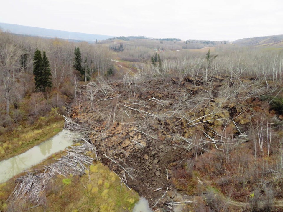
At their most basic, landslides are the effect of gravity having its way with unstable ground. As such, they come with the territory in B.C.
Our mountains and hills provide the requisite sloping terrain, and many comprise fractured rock and loose sediments and clays. Add rain, freezing temperatures or any other trigger, and the slopes can fail.
What we do can worsen matters. Mining can weaken a slope if appropriate geotechnical precautions aren’t taken. Logging roads can change how water flows down a mountainside, and logging itself removes trees that help to stabilize surface soils. Climate change is melting glacial ice that buttresses and holds precarious mountainsides in place. Human-caused wildfires create the conditions that prompted last month’s closure of Highway 1.
But if we didn’t have roadways, railways, pipelines, power lines, power stations, dams, farms and communities in our valleys and on our hillsides, landslides would be a considerably smaller deal.
Combining hazardous terrain with people and critical infrastructure raises the risk.
When I spoke to geologist John Clague, professor emeritus with Simon Fraser University’s Earth Sciences department, this year, he told me every province in Canada has landslides, but with B.C.’s terrain, our province is — unsurprisingly — more prone to them than most other provinces.
“We’re continually exposed to landslides somewhere here,” he said. Given how many slides and how many people live and travel through B.C., Clague says, “we’ve dodged a lot of bullets over the years.”
According to a recent paper by University of British Columbia researchers Alex Stroud and Scott MacDougall, 390 people are known to have died in landslides in B.C. between 1880 and 2019.
However, most of those deaths occurred more than a century ago. Since 1960, the authors say, the overall fatality rate from landslides in B.C. has dropped steadily — from about five deaths per year to one per year in 2019.
The decline, they say, may be due to more people moving away from rural communities in the mountains. Improved landslide risk-management practices that have outpaced the rate of new development in landslide-prone areas likely also contribute.
The data also reveal that the place in B.C. you’re most likely to die in a landslide is on a highway. But staying home isn’t safe if you live on or under an unstable slope — homes are the second most common place for death-by-landslide to occur. The third likeliest place to be killed in a landslide is along a railway.
In terms of loss of human life, B.C.’s worst landslide happened shortly after midnight on March 22, 1915, when part of mountain over the new Britannia Mine broke off. Clearing a 300-metre-wide path down the slope towards the mouth of Howe Sound, the rockslide flattened most of the mine’s camp community, burying it under 15 metres of rock, snow, mud, trees and other debris. Fifty-four people died.
You’re likely familiar with the province’s best-known landslide. The Hope Slide’s debris field spectacularly lines four kilometres of Highway 3 east of Hope. On January 9, 1965, half of Johnson Peak collapsed, sending rock and trees into the valley, over the highway, and up and back down the opposite slope. The slide killed four people who had stopped on the highway because of an earlier snow avalanche. A few hours later, the rock avalanche fell from Johnson Ridge.
Four people died at their homes on Kootenay Lake on July 12, 2012, after the saturated mountain slope above Johnsons Landing gave way. About 320,000 cubic metres of sediment, rock, trees and water hurtled down a creek towards the lake and jumped a 30-metre ridge to find its own way downhill. The debris slammed into 20 homes and took out parts of the local highway.
Almost everywhere in B.C. is at risk from landslides in some form or other. With the wet winter weather adding liquid lubrication to local landforms, watch for falling rock, and take heed of our B.C. highway signs.
keiran_monique@rocketmail.com


