We’ve all read about the ways Boweners are making the most of quarantine.
Some are making sourdough. Others are gardening up a storm.
We chose to take a hike, walking every public road and trail on the island-- keeping strict social distance, of course.
Every afternoon starting in March, we’d set out to tackle a different part of Bowen, crossing off the day’s walk in yellow highlighter on a dog-eared map of the island. Most of our walks were about four km—or about 45 minutes. This took us far afield of our home base on Mt. Gardner Rd, where we’ve lived for the past seven years, recently retiring full-time.
You don’t realize how big this island is until you attempt to walk it on foot. At 50 square kilometres, it’s about the size of Manhattan. If Manhattan was covered in hills, mountains and valleys, with no more than a total of 500 metres of flat earth in the entire place.
During our daily walks, we discovered a few things about Bowen— and ourselves:
Like many of you, we tend to stick to the tried and true, taking countless walks around Killarney Lake, for instance (along with half of the population it sometimes seems). There are so many amazing trails beyond the tried and true, for every level of hiker. The area around Quarry Park and Fairy Fen was especially unique—and almost always deserted.
Most of them are also dog-friendly, which we discovered with our friend Helen’s pooches Lenny and Lola in tow.
We encountered plenty of surprises: A helicopter pad with amazing views towards the Cascade Mountains; groupings of mini-Inukshuks sprouting like mushrooms; fields of foxgloves in the hundreds. Plus at least half a dozen beaches that don’t appear on most maps—luckily almost all are marked with Bowen Mascot signs and marked trails and stairs.
The number of micro-climates we encountered was surprising. We were plagued by ticks on the south side of island, which felt many days like sunny Kelowna. There are rocks near Cape Roger Curtis that look straight out of Newfoundland. On the North side we accidentally stepped on more than a few slugs going through rainforest that felt like Tofino.
It’s not news to anyone that there’s been a lot of recent development on the island—some of it involving impressive and expensive pieces of architecture. But there’s also still a comforting sense of diversity in Bowen’s housing stock—including a lot of original cabins and dwellings from Bowen’s Happy Isle days.
Whether the houses are grand or simple, Boweners seem to value privacy more than almost anything else. Even in more built-up neighbourhoods care seems to have been taken to protect views and nature.
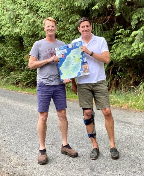
By mid-July, we’d completed about 90 percent of our task. Then we decided to visit some friends in Invermere. At the end of a hike, just 300 metres from our car, Chris went down on his right knee in some loose gravel and snapped his quad tendon in two.
Recovery is going well, with our walks to resume (carefully) in September. Let’s hope we run into each other then, quite literally, off the beaten path.


