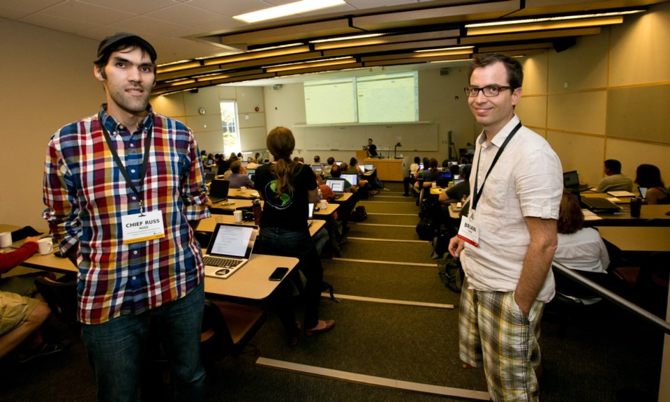
A four-day mapping workshop at the University of Victoria this week has members from more than 70 First Nations charting their territories and stories under the technical guidance of Google Earth Outreach staff.
“We wanted to bring people from different aboriginal communities together to have a conversation about the mapping they are doing,” said Brian Thom, an anthropologist who specializes in indigenous maps and organized the event.
“Maps can be a very powerful tool. They can support treaty-rights cases in court, but also the passing of knowledge to the next generation.”
Land rights were the buzz of the week, given the recent landmark Supreme Court decision granting title to the Tsilhqot’in Nation over nearly 500,000 hectares of land.
Chief Russ Ross of Yunesit’in, a member of the Tsilhqot’in national government, spoke about the 25-year case and evolving technologies in a keynote address.
“We traced the community footprints and stories that were part of the land,” he said.
Now 32, Ross was a child or a student while much of the evidence was presented, but would run down to the courthouse from UVic — where he studied sociology and indigenous governance — to watch.
Ross said a particular element from the trial that directly relates to mapping is the importance of land-use plans.
“Building those land-use plans are probably one of the most effective means to proving title,” he said.
Participants at the workshop delved into hands-on training, learning to plot data in Google Maps and conduct interviews tailored to mapping everything from biographies and sacred sites to indigenous place names and environmental concerns.
“This workshop has been an amazing effort in looking at land title and mapping in order to visualize the data that’s already been collected,” said Raleigh Seamster, program manager from Google Earth Outreach. Other needs, such as environmental monitoring, are also being looked at.
Seamster said one of Google Earth Outreach’s first projects involved an indigenous community in Brazil, and the small, do-good branch of the company has made a point of reaching out to aboriginal communities around the world since.
“It’s been really exciting to see first-hand how indigenous communities in Canada are at the forefront,” she said.
Steven DeRoy, a First Nations cartographer who led mapping techniques at the workshop, started working with Google tools about five years ago in an effort to streamline the cumbersome process of drawing on paper maps and then re-entering the information digitally.
“We needed a better way of how we gather and store information,” said DeRoy, a director for the Firelight Group, a research co-operative that co-sponsored the event and specializes in community-based projects.
He developed a direct-to-digital process, in which an interviews would be conducted and recorded using online maps. The result changed everything.
“The power of the digital format, flying through Google Earth in 3-D, is you can visualize the place and get very precise about locations,” he said.
“It also elicits mental memories and puts people in these places. Some people get overcome with emotion.”
Simon Smith Jr., a councillor from the Tsartlip First Nation, said he was attending the workshop to learn how his community can update its data and use online mapping tools for future projects.
“We have paper maps for fishing and place names, but they are maybe 20 years old and hardly ever used,” said Smith, who has worked as an archeological field assistant for development projects on First Nations territories.
“We don’t have an environmental map, so I’m very interested in that and seeing how we can use what they’re showing us here.”
Smith said he has taken GIS mapping courses before but found the Google Maps techniques much easier to navigate.
He hopes the accessibility of the technology will inspire youth from his community to get involved in digital mapping.


