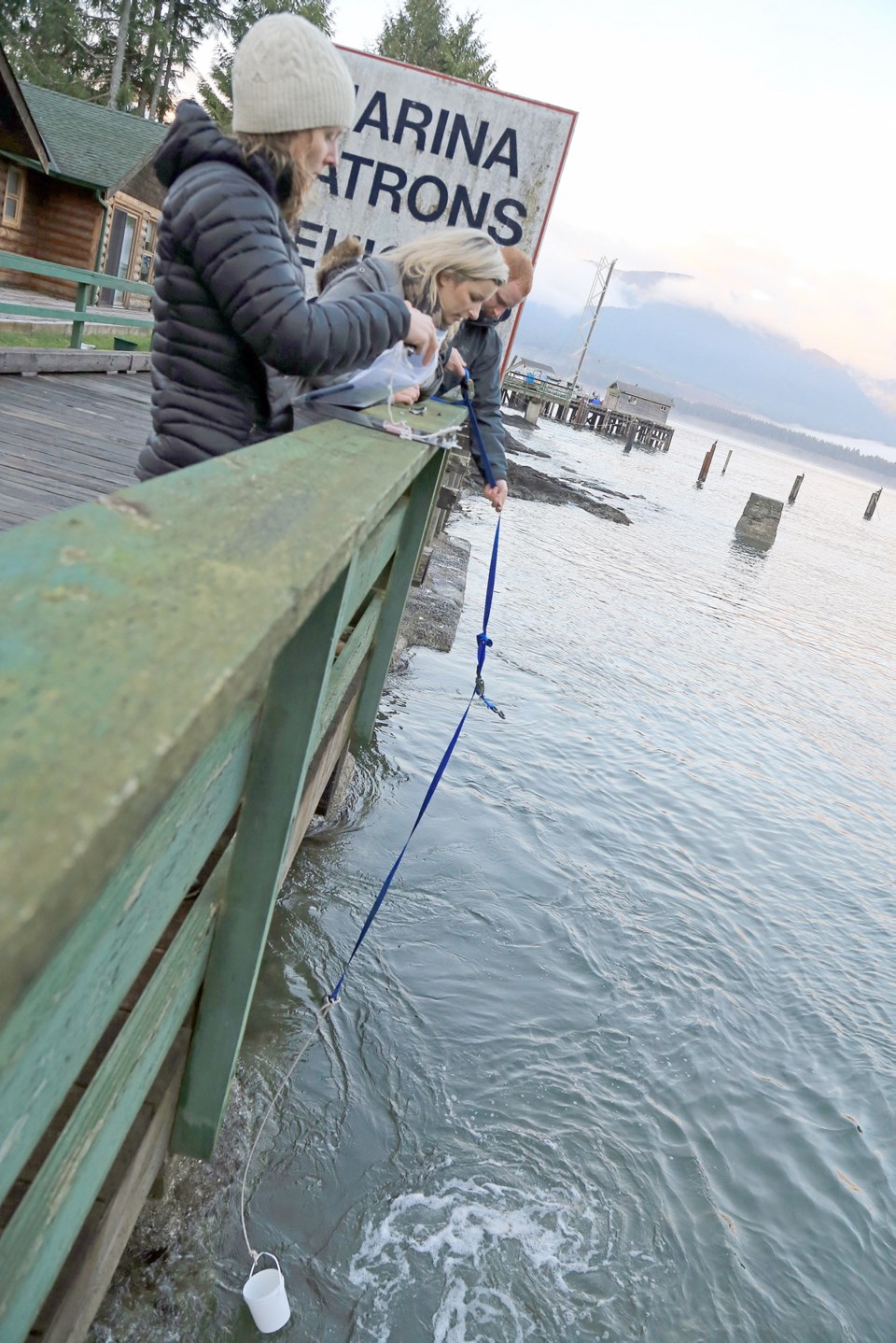
Scientists and volunteers in Ucluelet have collected the first seawater sample showing traces of radioactivity from the 2011 Japanese nuclear disaster, indicating that the edge of an ocean plume has reached the B.C. coast.
The traces are so small that they pose no health risk to either humans or the marine ecosystem, said chemical oceanographer Jay Cullen.
But monitoring the plume is giving scientists new information about ocean circulation, as well as the consequences of the Fukushima meltdown.
“Some of the isotopes we’re measuring will not or could not pose a health risk, but they are really valuable tracers of ocean mixing and ocean currents,” said Cullen, who heads the Integrated Fukushima Ocean Radionuclide Monitoring (InFORM) Network.
Following a major earthquake in March 2011, a 15-metre tsunami disabled the power supply and cooling of three Fukushima-Daiichi reactors, causing nuclear meltdowns that released radiation into the environment.
Cullen and his team are studying Cesium-134 and Cesium-137, which act as “fingerprints” for radiation specific to the disaster. Both isotopes were released at Fukushima, just as they were during nuclear testing in the mid-20th century.
But while the half-life — or the time it takes for the radioactivity to fall to half its original value — for Cesium-137 is 30 years, it’s only two years for Cesium-134. That means that if Cesium-134 is found in a sample, scientists can be certain it came from Fukushima.
The InFORM Network has 14 sampling locations along the B.C. coast, including Port Renfrew, Bamfield, Tofino/Ucluelet, Winter Harbour, Port Hardy, Nootka Island/ Tahsis, Victoria and Salt Spring Island.
The traces detected in the Ucluelet seawater, analyzed by scientists from the Woods Hole Oceanographic Institution, are extremely small.
“If this ocean water was drinking water, it’s more than a factor of 1,000 below the drinking-water maximum allowable concentration. There really isn’t any expectation at all that this is a danger to anyone or any organism in the coastal waters,” said Cullen, who teaches at the University of Victoria.
But it’s still important to monitor, just to be sure, he said. There is public demand for information about radiation levels — especially in seafood — so the InFORM Network is collecting and sharing that data.
The samples also allow researchers to test their predictions for how quickly the isotopes would reach the coast and how strong they would be.
Ocean mixing happens on such a large scale, both spatially and temporally, that it’s difficult to study, Cullen said. But it holds clues to other processes, such as climate change.
“The ocean really helps control how much greenhouse-gas carbon dioxide is in the atmosphere, so understanding that mixing better … feeds into better predictions of how the ocean will help regulate climate change,” he said.
Scientists predict the peak concentration of radioactive elements will arrive within the next year, and by 2020, radioactivity will return to pre-Fukushima levels.
The InFORM Network, which includes citizen scientists as well as representatives from academia, government and non-governmental organizations, will continue collecting monthly seawater samples at 14 locations along the B.C. coast.


