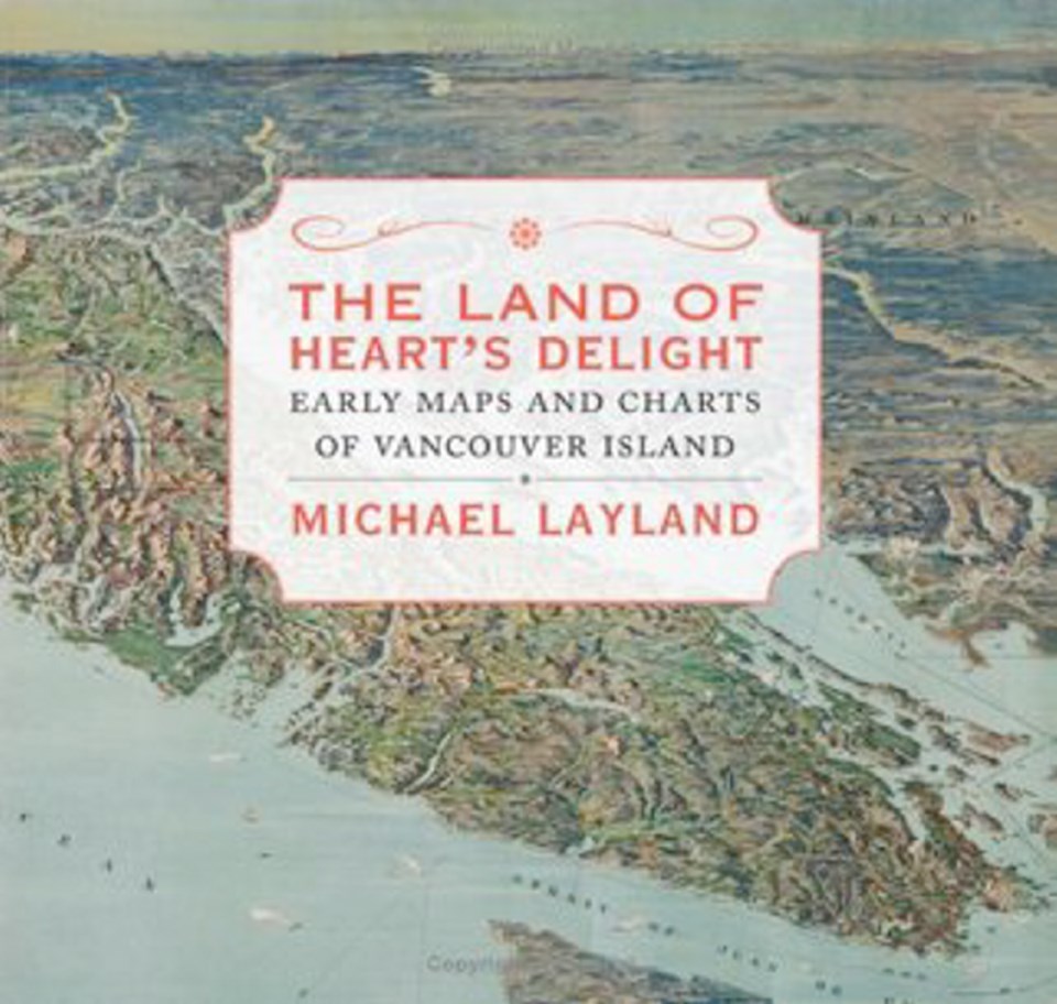
The Land of Heart’s Delight: Early Maps and Charts of Vancouver Island
By Michael Layland
TouchWood, 232 pp., $39.95
Michael Layland has devoted much of his life to cartography, the study and practice of making maps, as well as the history of exploration.
These two interests have come together in The Land of Heart’s Delight, a collection of about 130 maps that help mark the key milestones in the recorded knowledge of Vancouver Island’s past.
These maps provide the framework for understanding our history — from 1593, at least — and our geography. They also provide the basis for Layland’s narrative, which examines the explorers, mapmakers, surveyors and business leaders, among others, who helped shape the island as we know it.
Just as maps can help us sort out the fine details of history, there are times when an understanding of history is needed to get the most from maps.
The early maps of Vancouver Island were drawn by Spanish, Russian, Dutch, Belgian and English cartographers, among others. There was a keen interest in our island, and information was collected and shared as much as possible.
The coast was the easy part. Even a century ago, much of the interior of the Island remained a mystery. It is remarkable how short our recorded history really is.
The maps featured in The Land of Heart’s Delight help tell of European exploration and discovery, of the survey of the land for settlement — ignoring, of course, the peoples who had made Vancouver Island their home for centuries — and of the early establishment of today’s urban areas.
They also deal with major events such as the Pig War, which resulted from a dispute about the location of the international boundary east of Vancouver Island. The final choice was Haro Strait, which had been promoted by the Americans, rather than the British choice, Rosario Strait.
The choice of Haro means it is possible to see American territory while looking east and south from the top of Mount Douglas — which, as Layland notes, probably shouldn’t be considered a mountain anyway. At only 211 metres, it’s not high enough.
The mountain — er, hill — had also been called Cedar Hill by early residents of Victoria, because it had been the source of the cedar used in the construction of Fort Victoria. But locals wanted to honour Sir James Douglas, and a mere hill would not do. So the mapmakers relented, and a mountain it became.
(Nearby Tolmie Hill, as it was shown on early maps, became known over time as Mount Tolmie, even though it’s far too short as well.)
There is no mention in this book of the word PKOLS, the First Nations name for Mount Douglas, which has been in the news of late. Most of the regional maps here include names based on aboriginal names, but for the most part names used on these maps were imposed on the land by people who came from outside. Early maps were created by Europeans for Europeans, with only occasional regard for the peoples and traditions already here.
The Land of Heart’s Delight is filled with dozens of details that help provide a better sense of where we live. The district of Rockland, for example, contains some of the most valuable real estate in Canada, yet at one time it was considered too rocky to have any value.
It’s next to impossible to understand our history without first understanding our geography, and maps hold the key to that knowledge.
Layland, the book’s author, was trained as an officer and mapmaker in the Royal Engineers. He is the president of the Friends of the B.C. Archives, and a former president of the Victoria Historical Society.
This highly recommended book is a credit to his efforts. It is readable, entertaining and informative, and will be a reference work for many years to come.
The Land of Heart’s Delight will be launched at 7:30 p.m. on Wednesday, Nov. 13, at Munro’s Books, 1108 Government Street.
The reviewer, the editor-in-chief of the Times Colonist, is the author of Making The News: A Times Colonist Look at 150 Years of History.